Where is Clinton County, Iowa?
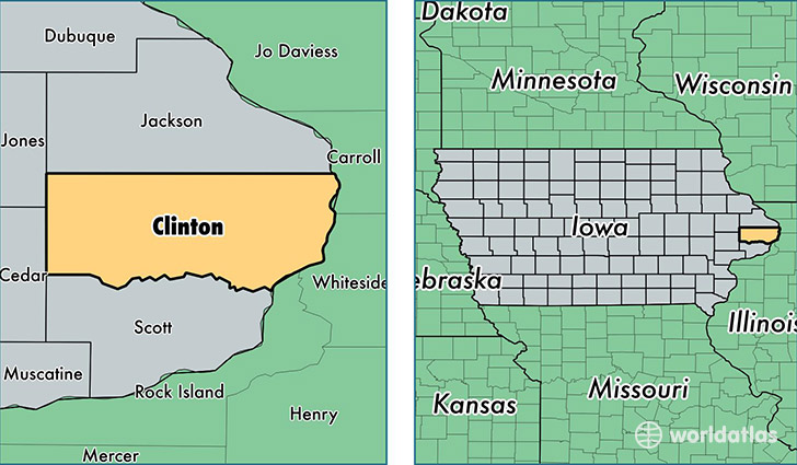
Clinton County is a county equivalent area found in Iowa, USA. The county government of Clinton is found in the county seat of Clinton.
With a total 1,839.35 sq. km of land and water area, Clinton County, Iowa is the 1417th largest county equivalent area in the United States. Home to 48,051 people, Clinton County has a total 21706 households earning 49559 on average per year.
Clinton County, Iowa - Quick Facts
| FIPS Code | 19045 |
| Area Codes | 563 |
| Time Zone | CST |
| Major Cities | Clinton (population: 28,063), De Witt (population: 7,556), Camanche (population: 4,909), Wheatland (population: 1,346), Delmar (population: 1,213), Grand Mound (population: 1,045), Lost Nation (population: 887), Charlotte (population: 886), Calamus (population: 866), Goose Lake (population: 613) |
| Land Area | 18,553 sq miles |
| Water Area | 695 sq miles |
| Household Income | $49,559 |
| Housing Units | 21,706 |
| Median Home Value | $110,300 |
| High School Grads | 90% of population |
| Holders of Bachelors Degrees | 18% of population |
| Retail Spending | $12,950 per capita |
| Food & Accomodation Sales | $54,058 per capita |
This page was last updated on June 30, 2016.