Where is Appanoose County, Iowa?
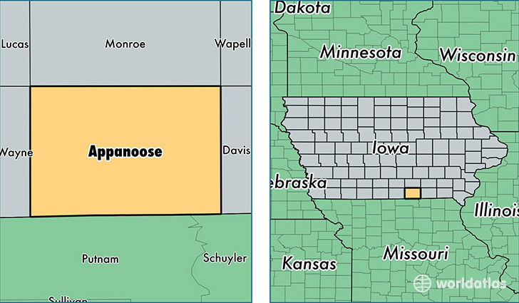
Appanoose County is a county equivalent area found in Iowa, USA. The county government of Appanoose is found in the county seat of Centerville.
With a total 1,337.07 sq. km of land and water area, Appanoose County, Iowa is the 2118th largest county equivalent area in the United States. Home to 12,661 people, Appanoose County has a total 6566 households earning 39208 on average per year.
Appanoose County, Iowa - Quick Facts
| FIPS Code | 19007 |
| Area Codes | 641 |
| Time Zone | CST |
| Major Cities | Centerville (population: 7,733), Moravia (population: 1,391), Moulton (population: 1,116), Mystic (population: 814), Cincinnati (population: 750), Unionville (population: 393), Exline (population: 339), Plano (population: 300), Udell (population: 139) |
| Land Area | 4,888 sq miles |
| Water Area | 497 sq miles |
| Household Income | $39,208 |
| Housing Units | 6,566 |
| Median Home Value | $77,600 |
| High School Grads | 88% of population |
| Holders of Bachelors Degrees | 18% of population |
| Retail Spending | $10,331 per capita |
| Food & Accomodation Sales | $7,996 per capita |
This page was last updated on June 30, 2016.