Where is Maui County, Hawaii?
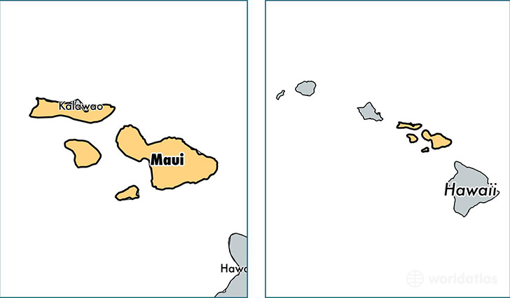
Maui County is a county equivalent area found in Hawaii, USA. The county government of Maui is found in the county seat of Wailuku.
With a total 6,211.65 sq. km of land and water area, Maui County, Hawaii is the 246th largest county equivalent area in the United States. Home to 163,019 people, Maui County has a total 71118 households earning 63512 on average per year.
Maui County, Hawaii offers the following attraction to visitors: Haleaka NP Makawao
Maui County, Hawaii - Quick Facts
| FIPS Code | 15009 |
| Area Codes | 808 |
| Time Zone | PST-2 |
| Major Cities | Wailuku (population: 30,196), Kihei (population: 27,481), Kahului (population: 25,359), Lahaina (population: 22,641), Makawao (population: 18,055), Haiku (population: 10,443), Kula (population: 8,241), Kaunakakai (population: 4,601), Lanai City (population: 3,203), Paia (population: 3,155) |
| Land Area | 62,942 sq miles |
| Water Area | 1,161 sq miles |
| Household Income | $63,512 |
| Housing Units | 71,118 |
| Median Home Value | $523,700 |
| High School Grads | 90% of population |
| Holders of Bachelors Degrees | 26% of population |
| Retail Spending | $17,437 per capita |
| Food & Accomodation Sales | $2,452,167 per capita |
| Universities and Colleges | Maui Community College |
This page was last updated on June 30, 2016.