Where is Kauai County, Hawaii?
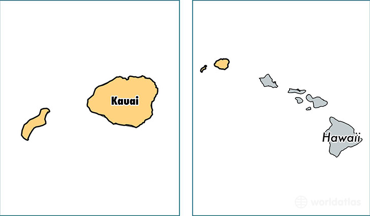
Kauai County is a county equivalent area found in Hawaii, USA. The county government of Kauai is found in the county seat of Lihu'e.
With a total 3,279.8 sq. km of land and water area, Kauai County, Hawaii is the 546th largest county equivalent area in the United States. Home to 70,475 people, Kauai County has a total 30189 households earning 62052 on average per year.
Kauai County, Hawaii - Quick Facts
| FIPS Code | 15007 |
| Area Codes | 808 |
| Time Zone | PST-2 |
| Major Cities | Kapaa (population: 18,685), Lihue (population: 14,976), Kalaheo (population: 6,047), Koloa (population: 5,293), Kilauea (population: 4,165), Kekaha (population: 3,753), Hanapepe (population: 2,879), Princeville (population: 2,533), Anahola (population: 2,415), Eleele (population: 2,365) |
| Land Area | 27,211 sq miles |
| Water Area | 620 sq miles |
| Household Income | $62,052 |
| Housing Units | 30,189 |
| Median Home Value | $484,500 |
| High School Grads | 90% of population |
| Holders of Bachelors Degrees | 25% of population |
| Retail Spending | $16,730 per capita |
| Food & Accomodation Sales | $591,483 per capita |
This page was last updated on June 30, 2016.