Where is Columbus, GA?
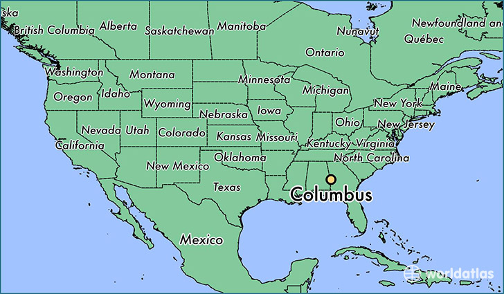
Columbus is a city found in Georgia, The United States Of America. It is located 32.46 latitude and -84.99 longitude and it is situated at elevation 75 meters above sea level.
Columbus has a population of 189,885 making it the 2nd biggest city in Georgia. It operates on the EDT time zone, which means that it follows the same time zone as Atlanta.
Quick facts
| Country | The United States Of America |
| State | Georgia |
| Population | 189,885 |
| Elevation | 75 m over sea level |
| Time Zone | EDT |
| Longitude | -84.987710 |
| Latitude | 32.460980 |
Columbus has a population of around 200285, of which 98321 (49%) are male and 101964 (50%) are female. The average age of the inhabitants of Columbus is 35.62, meaning that the average person is below the national median age of 37. For every male, there are approximately 1.04 females, meaning that the population is relatively evenly distributed between males and female(s).
Of Columbus's 200285 residents, around 192671 (96.20%) identify as having a single race. Of the population, 91767 are white (45.80%), 89663 are black/African Americans (44.80%), 596 are native Americans (0.30%), 4822 are asians (2.40%), 376 are pacific islanders (0.20%), 5447 are other (2.70%).
The median income of households in Columbus is $42306.00, meaning that most of the households are above the poverty threshold for families of three. Of the total population, 10.70% of households reported an annual income of less than $10,000.
Columbus, GA Zipcodes
The city of Columbus has 11 zipcodes recognized by the United States Census Bureau: 31801, 31808, 31820, 31829, 31901, 31903, 31904, 31905, 31906, 31907, 31909.