Where is Cook County, Georgia?
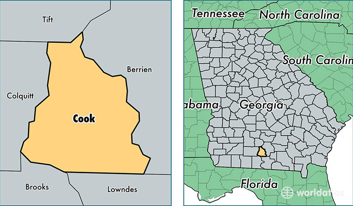
Cook County is a county equivalent area found in Georgia, USA. The county government of Cook is found in the county seat of Adel.
With a total 603.99 sq. km of land and water area, Cook County, Georgia is the 2975th largest county equivalent area in the United States. Home to 17,214 people, Cook County has a total 7189 households earning 34985 on average per year.
Cook County, Georgia - Quick Facts
| FIPS Code | 13075 |
| Area Codes | 229 |
| Time Zone | EST |
| Major Cities | Adel (population: 10,510), Sparks (population: 3,475), Lenox (population: 2,815), Cecil (population: 234) |
| Land Area | 6,646 sq miles |
| Water Area | 227 sq miles |
| Household Income | $34,985 |
| Housing Units | 7,189 |
| Median Home Value | $83,100 |
| High School Grads | 75% of population |
| Holders of Bachelors Degrees | 12% of population |
| Retail Spending | $7,198 per capita |
| Food & Accomodation Sales | $18,080 per capita |
This page was last updated on June 30, 2016.