Where is Clay County, Georgia?
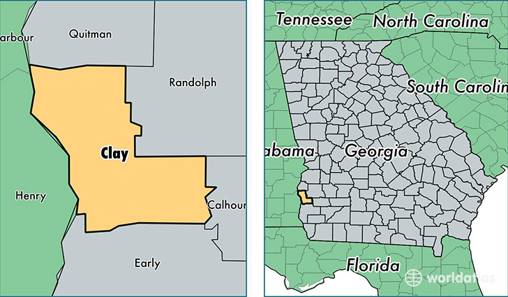
Clay County is a county equivalent area found in Georgia, USA. The county government of Clay is found in the county seat of Fort Gaines.
With a total 562.64 sq. km of land and water area, Clay County, Georgia is the 2995th largest county equivalent area in the United States. Home to 3,102 people, Clay County has a total 2070 households earning 21192 on average per year.
Clay County, Georgia - Quick Facts
| FIPS Code | 13061 |
| Area Codes | 229 |
| Time Zone | EST |
| Major Cities | Fort Gaines (population: 2,337) |
| Land Area | 1,198 sq miles |
| Water Area | 195 sq miles |
| Household Income | $21,192 |
| Housing Units | 2,070 |
| Median Home Value | $72,300 |
| High School Grads | 78% of population |
| Holders of Bachelors Degrees | 8% of population |
| Retail Spending | $3,465 per capita |
This page was last updated on June 30, 2016.