Where is Sanford, FL?
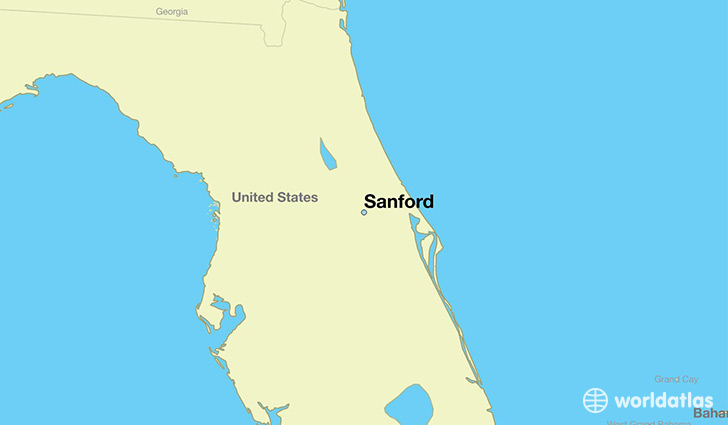
Sanford is a city found in Florida, The United States Of America. It is located 28.80 latitude and -81.27 longitude and it is situated at elevation 8 meters above sea level.
Sanford has a population of 53,570 making it the 62nd biggest city in Florida. It operates on the EDT time zone, which means that it follows the same time zone as Jacksonville.
Quick facts
| Country | The United States Of America |
| State | Florida |
| Population | 53,570 |
| Elevation | 8 m over sea level |
| Time Zone | EDT |
| Longitude | -81.273120 |
| Latitude | 28.800550 |
Sanford has a population of around 56170, of which 26802 (47%) are male and 29368 (52%) are female. The average age of the inhabitants of Sanford is 35.09, meaning that the average person is below the national median age of 37. For every male, there are approximately 1.1 females, meaning that the population is relatively evenly distributed between males and female(s).
Of Sanford's 56170 residents, around 54313 (96.70%) identify as having a single race. The majority of the population is white, which consists of 63.20% of the population. Of the remaining population, 15181 are black/African Americans (27.00%), 227 are native Americans (0.40%), 1994 are asians (3.50%), 1405 are other (2.50%).
The median income of households in Sanford is $38273.00, meaning that most of the households are above the poverty threshold for families of three. Of the total population, 7.40% of households reported an annual income of less than $10,000.
Sanford, FL Zipcodes
The city of Sanford has 3 zipcodes recognized by the United States Census Bureau: 32746, 32771, 32773.