Where is Port Saint Lucie, FL?
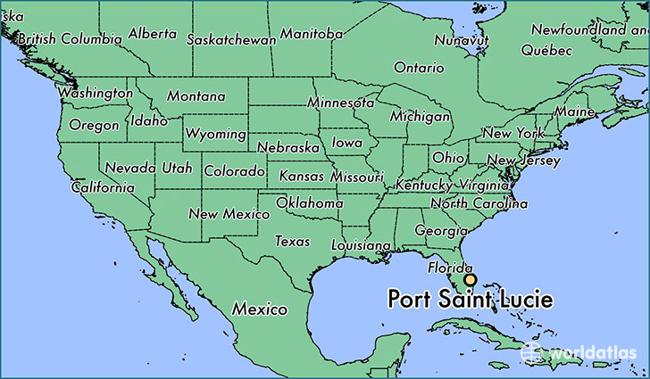
Port Saint Lucie is a city found in Florida, The United States Of America. It is located 27.29 latitude and -80.35 longitude and it is situated at elevation 8 meters above sea level.
Port Saint Lucie has a population of 164,603 making it the 9th biggest city in Florida. It operates on the EDT time zone, which means that it follows the same time zone as Jacksonville.
Quick facts
| Country | The United States Of America |
| State | Florida |
| Population | 164,603 |
| Elevation | 8 m over sea level |
| Time Zone | EDT |
| Longitude | -80.350330 |
| Latitude | 27.293930 |
Port-saint-lucie has a population of around 172054, of which 84845 (49%) are male and 87209 (50%) are female. The average age of the inhabitants of Port-saint-lucie is 39.53, meaning that the average person is above the national median age of 37. For every male, there are approximately 1.03 females, meaning that the population is relatively evenly distributed between males and female(s).
Of Port-saint-lucie's 172054 residents, around 166595 (96.80%) identify as having a single race. The majority of the population is white, which consists of 73.30% of the population. Of the remaining population, 29058 are black/African Americans (16.90%), 494 are native Americans (0.30%), 3898 are asians (2.30%), 54 are pacific islanders (0.00%), 6945 are other (4.00%).
The median income of households in Port-saint-lucie is $49813.00, meaning that most of the households are above the poverty threshold for families of three. Of the total population, 6.20% of households reported an annual income of less than $10,000.
Port Saint Lucie, FL Zipcodes
The city of Port Saint Lucie has 11 zipcodes recognized by the United States Census Bureau: 34945, 34952, 34953, 34957, 34982, 34983, 34984, 34986, 34987, 34990, 34994.