Where is Coral Springs, FL?
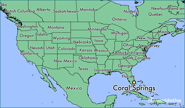
Coral Springs is a city found in Florida, The United States Of America. It is located 26.27 latitude and -80.27 longitude and it is situated at elevation 4 meters above sea level.
Coral Springs has a population of 121,096 making it the 15th biggest city in Florida. It operates on the EDT time zone, which means that it follows the same time zone as Jacksonville.
Quick facts
| Country | The United States Of America |
| State | Florida |
| Population | 121,096 |
| Elevation | 4 m over sea level |
| Time Zone | EDT |
| Longitude | -80.270600 |
| Latitude | 26.271190 |
Coral-springs has a population of around 126673, of which 61869 (48%) are male and 64804 (51%) are female. The average age of the inhabitants of Coral-springs is 35.67, meaning that the average person is below the national median age of 37. For every male, there are approximately 1.05 females, meaning that the population is relatively evenly distributed between males and female(s).
Of Coral-springs's 126673 residents, around 123098 (97.20%) identify as having a single race. The majority of the population is white, which consists of 67.30% of the population. Of the remaining population, 26429 are black/African Americans (20.90%), 457 are native Americans (0.40%), 5746 are asians (4.50%), 41 are pacific islanders (0.00%), 5186 are other (4.10%).
The median income of households in Coral-springs is $66430.00, meaning that most of the households are above the poverty threshold for families of three. Of the total population, 3.80% of households reported an annual income of less than $10,000.
Coral Springs, FL Zipcodes
The city of Coral Springs has 6 zipcodes recognized by the United States Census Bureau: 33063, 33065, 33067, 33071, 33073, 33076.