Where is Wakulla County, Florida?
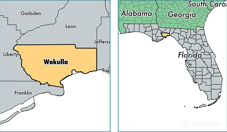
Wakulla County is a county equivalent area found in Florida, USA. The county government of Wakulla is found in the county seat of Crawfordville.
With a total 1,905.52 sq. km of land and water area, Wakulla County, Florida is the 1309th largest county equivalent area in the United States. Home to 31,432 people, Wakulla County has a total 12689 households earning 52691 on average per year.
Wakulla County, Florida - Quick Facts
| FIPS Code | 12129 |
| Area Codes | 850 |
| Time Zone | EST |
| Major Cities | Crawfordville (population: 26,990), Sopchoppy (population: 2,148), Panacea (population: 1,697), Saint Marks (population: 312) |
| Land Area | 12,136 sq miles |
| Water Area | 607 sq miles |
| Household Income | $52,691 |
| Housing Units | 12,689 |
| Median Home Value | $138,300 |
| High School Grads | 88% of population |
| Holders of Bachelors Degrees | 17% of population |
| Retail Spending | $5,544 per capita |
| Food & Accomodation Sales | $20,092 per capita |
This page was last updated on June 30, 2016.