Where is Seminole County, Florida?
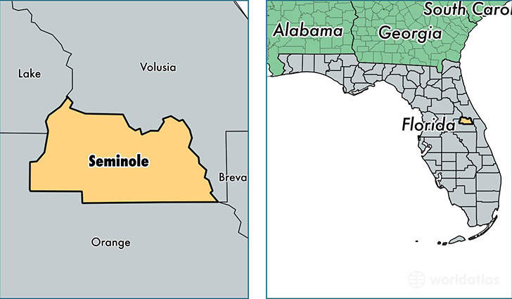
Seminole County is a county equivalent area found in Florida, USA. The county government of Seminole is found in the county seat of Sanford.
With a total 894.34 sq. km of land and water area, Seminole County, Florida is the 2744th largest county equivalent area in the United States. Home to 442,516 people, Seminole County has a total 183781 households earning 58175 on average per year.
Seminole County, Florida - Quick Facts
| FIPS Code | 12117 |
| Area Codes | 407 |
| Time Zone | EST |
| Major Cities | Sanford (population: 79,770), Oviedo (population: 73,430), Altamonte Springs (population: 57,522), Longwood (population: 51,234), Winter Springs (population: 42,819), Casselberry (population: 41,469), Lake Mary (population: 41,350), Geneva (population: 5,696) |
| Land Area | 170,856 sq miles |
| Water Area | 309 sq miles |
| Household Income | $58,175 |
| Housing Units | 183,781 |
| Median Home Value | $184,300 |
| High School Grads | 92% of population |
| Holders of Bachelors Degrees | 35% of population |
| Retail Spending | $16,831 per capita |
| Food & Accomodation Sales | $764,148 per capita |
This page was last updated on June 30, 2016.