Where is Aurora, CO?
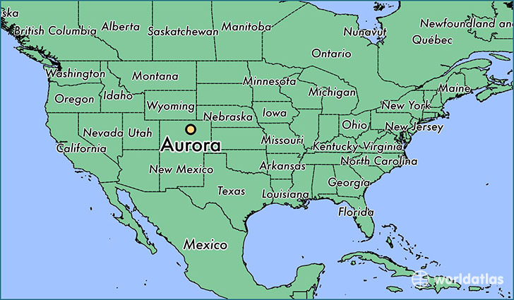
Aurora is a city found in Colorado, The United States Of America. It is located 39.73 latitude and -104.83 longitude and it is situated at elevation 1651 meters above sea level.
Aurora has a population of 325,078 making it the 3rd biggest city in Colorado. It operates on the MDT time zone, which means that it follows the same time zone as Denver.
Quick facts
| Country | The United States Of America |
| State | Colorado |
| Population | 325,078 |
| Elevation | 1,651 m over sea level |
| Time Zone | MDT |
| Longitude | -104.831920 |
| Latitude | 39.729430 |
Aurora has a population of around 345867, of which 169364 (48%) are male and 176503 (51%) are female. The average age of the inhabitants of Aurora is 34.70, meaning that the average person is below the national median age of 37. For every male, there are approximately 1.04 females, meaning that the population is relatively evenly distributed between males and female(s).
Of Aurora's 345867 residents, around 325803 (94.20%) identify as having a single race. The majority of the population is white, which consists of 63.30% of the population. Of the remaining population, 54568 are black/African Americans (15.80%), 2910 are native Americans (0.80%), 18209 are asians (5.30%), 944 are pacific islanders (0.30%), 30197 are other (8.70%).
The median income of households in Aurora is $53011.00, meaning that most of the households are above the poverty threshold for families of three. Of the total population, 5.80% of households reported an annual income of less than $10,000.
Aurora, CO Zipcodes
The city of Aurora has 18 zipcodes recognized by the United States Census Bureau: 80010, 80011, 80012, 80013, 80014, 80015, 80016, 80017, 80018, 80019, 80045, 80102, 80112, 80137, 80138, 80220, 80231, 80247.