Where is Routt County, Colorado?
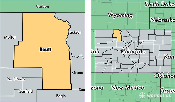
Routt County is a county equivalent area found in Colorado, USA. The county government of Routt is found in the county seat of Steamboat Springs.
With a total 6,133.45 sq. km of land and water area, Routt County, Colorado is the 256th largest county equivalent area in the United States. Home to 23,865 people, Routt County has a total 16310 households earning 62002 on average per year.
Routt County, Colorado - Quick Facts
| FIPS Code | 8107 |
| Area Codes | 970 |
| Time Zone | MST |
| Major Cities | Steamboat Springs (population: 16,928), Hayden (population: 2,444), Oak Creek (population: 2,207), Clark (population: 700), Yampa (population: 580), Phippsburg (population: 334), Toponas (population: 47) |
| Land Area | 9,214 sq miles |
| Water Area | 2,362 sq miles |
| Household Income | $62,002 |
| Housing Units | 16,310 |
| Median Home Value | $390,100 |
| High School Grads | 97% of population |
| Holders of Bachelors Degrees | 48% of population |
| Retail Spending | $18,866 per capita |
| Food & Accomodation Sales | $184,368 per capita |
This page was last updated on June 30, 2016.