Where is Costilla County, Colorado?
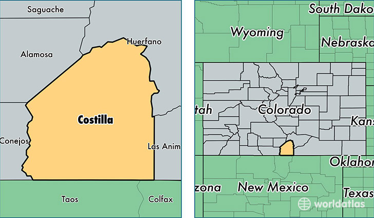
Costilla County is a county equivalent area found in Colorado, USA. The county government of Costilla is found in the county seat of San Luis.
With a total 3,186.63 sq. km of land and water area, Costilla County, Colorado is the 568th largest county equivalent area in the United States. Home to 3,568 people, Costilla County has a total 2654 households earning 29145 on average per year.
Costilla County, Colorado - Quick Facts
| FIPS Code | 8023 |
| Area Codes | 719 |
| Time Zone | MST |
| Major Cities | San Luis (population: 1,462), Fort Garland (population: 856), Blanca (population: 820), Chama (population: 281), Jaroso (population: 57) |
| Land Area | 1,378 sq miles |
| Water Area | 1,227 sq miles |
| Household Income | $29,145 |
| Housing Units | 2,654 |
| Median Home Value | $93,800 |
| High School Grads | 77% of population |
| Holders of Bachelors Degrees | 20% of population |
| Retail Spending | $1,726 per capita |
This page was last updated on June 30, 2016.