Where is Baca County, Colorado?
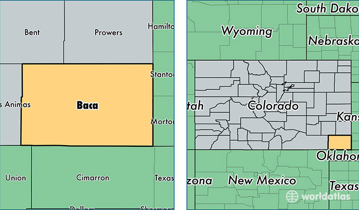
Baca County is a county equivalent area found in Colorado, USA. The county government of Baca is found in the county seat of Springfield.
With a total 6,623.46 sq. km of land and water area, Baca County, Colorado is the 227th largest county equivalent area in the United States. Home to 3,645 people, Baca County has a total 2225 households earning 38829 on average per year.
Baca County, Colorado - Quick Facts
| FIPS Code | 8009 |
| Area Codes | 719 |
| Time Zone | MST |
| Major Cities | Springfield (population: 1,913), Walsh (population: 971), Campo (population: 322), Pritchett (population: 278), Vilas (population: 143), Two Buttes (population: 135) |
| Land Area | 1,407 sq miles |
| Water Area | 2,555 sq miles |
| Household Income | $38,829 |
| Housing Units | 2,225 |
| Median Home Value | $73,500 |
| High School Grads | 87% of population |
| Holders of Bachelors Degrees | 17% of population |
| Retail Spending | $8,570 per capita |
This page was last updated on June 30, 2016.