Where is Archuleta County, Colorado?
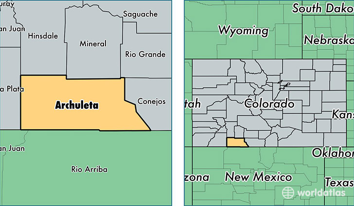
Archuleta County is a county equivalent area found in Colorado, USA. The county government of Archuleta is found in the county seat of Pagosa Springs.
With a total 3,510.75 sq. km of land and water area, Archuleta County, Colorado is the 500th largest county equivalent area in the United States. Home to 12,244 people, Archuleta County has a total 8840 households earning 48933 on average per year.
Archuleta County, Colorado - Quick Facts
| FIPS Code | 8007 |
| Area Codes | 970 |
| Time Zone | MST |
| Major Cities | Pagosa Springs (population: 11,431), Arboles (population: 269), Chromo (population: 114) |
| Land Area | 4,727 sq miles |
| Water Area | 1,350 sq miles |
| Household Income | $48,933 |
| Housing Units | 8,840 |
| Median Home Value | $279,700 |
| High School Grads | 92% of population |
| Holders of Bachelors Degrees | 33% of population |
| Retail Spending | $11,435 per capita |
| Food & Accomodation Sales | $33,162 per capita |
This page was last updated on June 30, 2016.