Where is San Joaquin County, California?
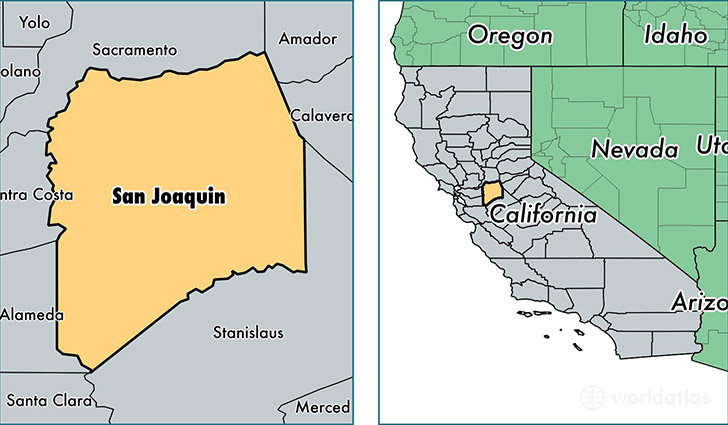
San Joaquin County is a county equivalent area found in California, USA. The county government of San Joaquin is found in the county seat of Stockton.
With a total 3,694.77 sq. km of land and water area, San Joaquin County, California is the 477th largest county equivalent area in the United States. Home to 715,597 people, San Joaquin County has a total 235943 households earning 53380 on average per year.
San Joaquin County, California - Quick Facts
| FIPS Code | 6077 |
| Area Codes | 209 |
| Time Zone | PST |
| Major Cities | Stockton (population: 366,452), Tracy (population: 109,113), Manteca (population: 76,105), Lodi (population: 74,397), Lathrop (population: 18,303), Ripon (population: 16,993), Escalon (population: 13,142), Acampo (population: 7,456), French Camp (population: 4,484), Linden (population: 4,329) |
| Land Area | 276,293 sq miles |
| Water Area | 1,392 sq miles |
| Household Income | $53,380 |
| Housing Units | 235,943 |
| Median Home Value | $208,000 |
| High School Grads | 77% of population |
| Holders of Bachelors Degrees | 18% of population |
| Retail Spending | $10,687 per capita |
| Food & Accomodation Sales | $745,809 per capita |
| Universities and Colleges | University of the Pacific |
This page was last updated on June 30, 2016.