Where is Napa County, California?
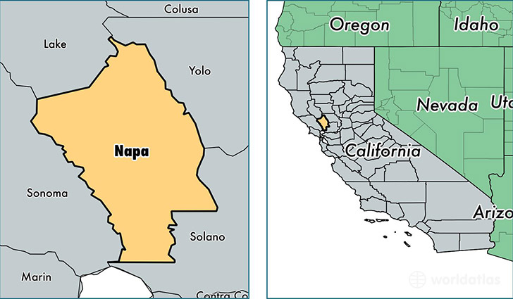
Napa County is a county equivalent area found in California, USA. The county government of Napa is found in the county seat of Napa.
With a total 2,042.42 sq. km of land and water area, Napa County, California is the 1203rd largest county equivalent area in the United States. Home to 141,667 people, Napa County has a total 54939 households earning 70443 on average per year.
Napa County, California - Quick Facts
| FIPS Code | 6055 |
| Area Codes | 707 |
| Time Zone | PST |
| Major Cities | Napa (population: 95,778), American Canyon (population: 20,050), Saint Helena (population: 8,906), Calistoga (population: 7,180), Angwin (population: 3,729), Yountville (population: 3,077), Pope Valley (population: 634), Deer Park (population: 167), Rutherford (population: 95) |
| Land Area | 54,698 sq miles |
| Water Area | 748 sq miles |
| Household Income | $70,443 |
| Housing Units | 54,939 |
| Median Home Value | $428,600 |
| High School Grads | 83% of population |
| Holders of Bachelors Degrees | 31% of population |
| Retail Spending | $12,619 per capita |
| Food & Accomodation Sales | $620,353 per capita |
| Universities and Colleges | Napa Valley College |
This page was last updated on June 30, 2016.