Where is Mariposa County, California?
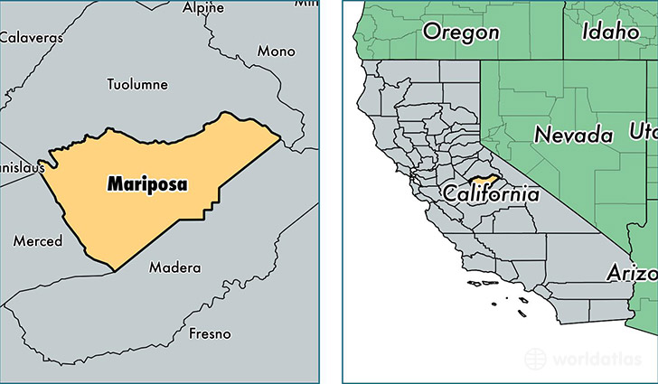
Mariposa County is a county equivalent area found in California, USA. The county government of Mariposa is found in the county seat of Mariposa.
With a total 3,788.69 sq. km of land and water area, Mariposa County, California is the 460th largest county equivalent area in the United States. Home to 17,682 people, Mariposa County has a total 10243 households earning 49820 on average per year.
Mariposa County, California offers the following attraction to visitors: Yosemite NP
Mariposa County, California - Quick Facts
| FIPS Code | 6043 |
| Area Codes | 209 |
| Time Zone | PST |
| Major Cities | Mariposa (population: 10,852), Coulterville (population: 2,155), Yosemite National Park (population: 1,247), Catheys Valley (population: 951), Midpines (population: 694), El Portal (population: 530), Hornitos (population: 79), Fish Camp (population: 67) |
| Land Area | 6,827 sq miles |
| Water Area | 1,449 sq miles |
| Household Income | $49,820 |
| Housing Units | 10,243 |
| Median Home Value | $235,000 |
| High School Grads | 88% of population |
| Holders of Bachelors Degrees | 21% of population |
| Retail Spending | $4,705 per capita |
| Food & Accomodation Sales | $132,992 per capita |
This page was last updated on June 30, 2016.