Colusa County, CA, USA
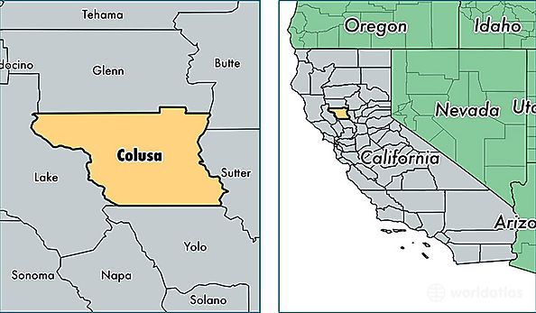
Colusa County is a county equivalent area found in California, USA. The county government of Colusa is found in the county seat of Colusa.
With a total 2,994.95 sq. km of land and water area, Colusa County, California is the 613th largest county equivalent area in the United States. Home to 21,419 people, Colusa County has a total 7880 households earning 52158 on average per year.
Colusa County, California - Quick Facts
| FIPS Code | 6011 |
| Area Codes | 530 |
| Time Zone | PST |
| Major Cities | Colusa (population: 7,715), Williams (population: 5,989), Arbuckle (population: 4,685), Maxwell (population: 1,516), Stonyford (population: 596), Grimes (population: 568) |
| Land Area | 8,270 sq miles |
| Water Area | 1,151 sq miles |
| Household Income | $52,158 |
| Housing Units | 7,880 |
| Median Home Value | $181,600 |
| High School Grads | 69% of population |
| Holders of Bachelors Degrees | 14% of population |
| Retail Spending | $9,884 per capita |
| Food & Accomodation Sales | $91,604 per capita |