Where is Cullman County, Alabama?
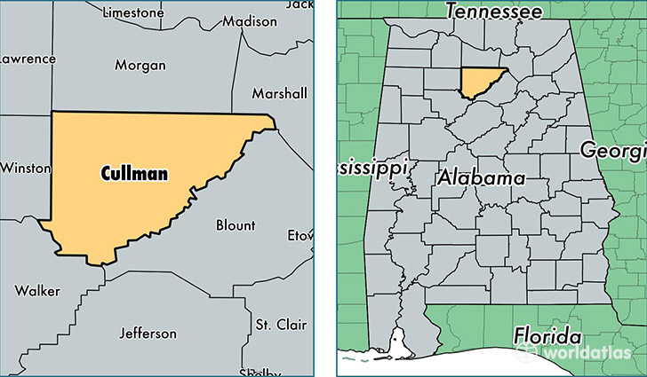
Cullman County is a county equivalent area found in Alabama, USA. The county government of Cullman is found in the county seat of Cullman.
With a total 1,955.5 sq. km of land and water area, Cullman County, Alabama is the 1270th largest county equivalent area in the United States. Home to 81,289 people, Cullman County has a total 36877 households earning 38847 on average per year.
Cullman County, Alabama - Quick Facts
| FIPS Code | 1043 |
| Area Codes | 256 |
| Time Zone | CST |
| Major Cities | Cullman (population: 42,010), Hanceville (population: 13,147), Vinemont (population: 8,962), Bremen (population: 3,400), Holly Pond (population: 3,269), Crane Hill (population: 2,612), Joppa (population: 2,124), Baileyton (population: 2,121), Logan (population: 1,372), Garden City (population: 265) |
| Land Area | 31,386 sq miles |
| Water Area | 735 sq miles |
| Household Income | $38,847 |
| Housing Units | 36,877 |
| Median Home Value | $106,100 |
| High School Grads | 80% of population |
| Holders of Bachelors Degrees | 15% of population |
| Retail Spending | $10,757 per capita |
| Food & Accomodation Sales | $102,291 per capita |
This page was last updated on June 30, 2016.