Where is Nome Borough, Alaska?
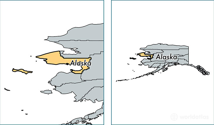
Nome Borough is a county equivalent area found in Alaska, USA.
With a total 73,238.55 sq. km of land and water area, Nome Borough, Alaska is the 7th largest county equivalent area in the United States. Home to 9,817 people, Nome Borough has a total 4040 households earning 49974 on average per year.
Nome Borough, Alaska offers the following attraction to visitors: Bering Land Bridge National Preserve
Nome Borough, Alaska - Quick Facts
| FIPS Code | 2180 |
| Area Codes | 907 |
| Time Zone | PST-1 |
| Major Cities | Nome (population: 4,217), Unalakleet (population: 718), Gambell (population: 711), Savoonga (population: 700), Shishmaref (population: 592), Stebbins (population: 580), Saint Michael (population: 418), Brevig Mission (population: 405), Koyuk (population: 346), Elim (population: 344) |
| Land Area | 3,790 sq miles |
| Water Area | 22,962 sq miles |
| Household Income | $49,974 |
| Housing Units | 4,040 |
| Median Home Value | $142,800 |
| High School Grads | 84% of population |
| Holders of Bachelors Degrees | 17% of population |
| Retail Spending | $6,785 per capita |
| Food & Accomodation Sales | $10,198 per capita |
This page was last updated on June 30, 2016.