Where is Denali Borough, Alaska?
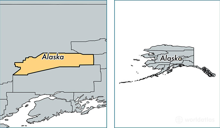
Denali Borough is a county equivalent area found in Alaska, USA. The borough government of Denali is found in the borough seat of Healy.
With a total 33,092.48 sq. km of land and water area, Denali Borough, Alaska is the 20th largest county equivalent area in the United States. Home to 1,921 people, Denali Borough has a total 1757 households earning 72500 on average per year.
Denali Borough, Alaska offers the following attraction to visitors: Denali NP & Preserve Eielson Visitor Center
Denali Borough, Alaska - Quick Facts
| FIPS Code | 2068 |
| Area Codes | 907 |
| Time Zone | PST-1 |
| Major Cities | Healy (population: 1,097), Cantwell (population: 237), Anderson (population: 232), Denali National Park (population: 222), Clear (population: 24) |
| Land Area | 742 sq miles |
| Water Area | 12,751 sq miles |
| Household Income | $72,500 |
| Housing Units | 1,757 |
| Median Home Value | $192,500 |
| High School Grads | 89% of population |
| Holders of Bachelors Degrees | 28% of population |
| Retail Spending | $6,120 per capita |
| Food & Accomodation Sales | $37,099 per capita |
This page was last updated on June 30, 2016.