Where is Childress County, Texas?
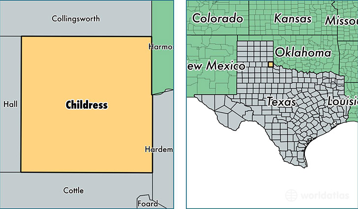
Childress County is a county equivalent area found in Texas, USA. The county government of Childress is found in the county seat of Childress.
With a total 1,848.52 sq. km of land and water area, Childress County, Texas is the 1407th largest county equivalent area in the United States. Home to 7,089 people, Childress County has a total 2862 households earning 47532 on average per year.
Childress County, Texas - Quick Facts
| FIPS Code | 48075 |
| Area Codes | 940 |
| Time Zone | CST |
| Major Cities | Childress (population: 7,027), Tell (population: 47) |
| Land Area | 2,737 sq miles |
| Water Area | 697 sq miles |
| Household Income | $47,532 |
| Housing Units | 2,862 |
| Median Home Value | $62,700 |
| High School Grads | 88% of population |
| Holders of Bachelors Degrees | 19% of population |
| Retail Spending | $10,014 per capita |
| Food & Accomodation Sales | $11,657 per capita |
This page was last updated on June 30, 2016.