Where is Burnet County, Texas?
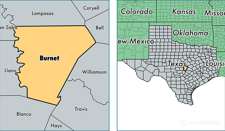
Burnet County is a county equivalent area found in Texas, USA. The county government of Burnet is found in the county seat of Burnet.
With a total 2,645.06 sq. km of land and water area, Burnet County, Texas is the 745th largest county equivalent area in the United States. Home to 44,943 people, Burnet County has a total 21218 households earning 48115 on average per year.
Burnet County, Texas - Quick Facts
| FIPS Code | 48053 |
| Area Codes | 512,830 |
| Time Zone | CST |
| Major Cities | Marble Falls (population: 17,870), Burnet (population: 13,188), Bertram (population: 5,032), Briggs (population: 441) |
| Land Area | 17,353 sq miles |
| Water Area | 994 sq miles |
| Household Income | $48,115 |
| Housing Units | 21,218 |
| Median Home Value | $152,600 |
| High School Grads | 84% of population |
| Holders of Bachelors Degrees | 22% of population |
| Retail Spending | $14,609 per capita |
| Food & Accomodation Sales | $74,443 per capita |
This page was last updated on June 30, 2016.