Where is Keith County, Nebraska?
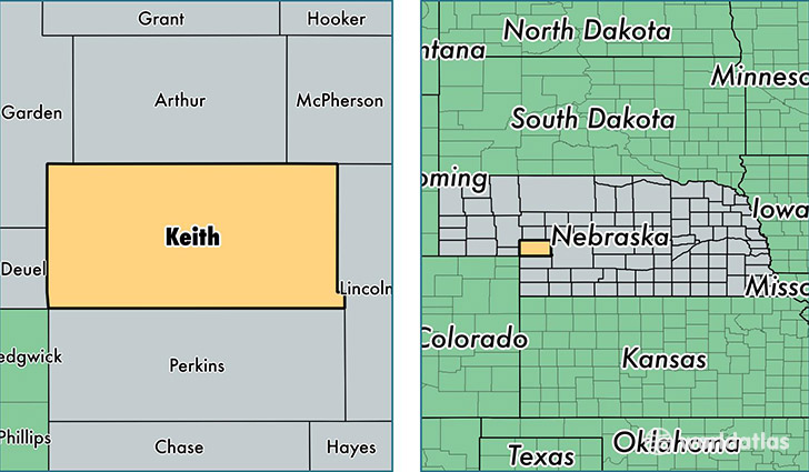
Keith County is a county equivalent area found in Nebraska, USA. The county government of Keith is found in the county seat of Ogallala.
With a total 2,874.24 sq. km of land and water area, Keith County, Nebraska is the 656th largest county equivalent area in the United States. Home to 8,121 people, Keith County has a total 5353 households earning 41970 on average per year.
Keith County, Nebraska - Quick Facts
| FIPS Code | 31101 |
| Area Codes | 308 |
| Time Zone | MST |
| Major Cities | Ogallala (population: 5,666), Paxton (population: 1,015), Brule (population: 725), Lemoyne (population: 329), Keystone (population: 198) |
| Land Area | 3,136 sq miles |
| Water Area | 1,062 sq miles |
| Household Income | $41,970 |
| Housing Units | 5,353 |
| Median Home Value | $91,500 |
| High School Grads | 92% of population |
| Holders of Bachelors Degrees | 20% of population |
| Retail Spending | $25,472 per capita |
| Food & Accomodation Sales | $22,762 per capita |
This page was last updated on June 30, 2016.