Where is Brunswick County, North Carolina?
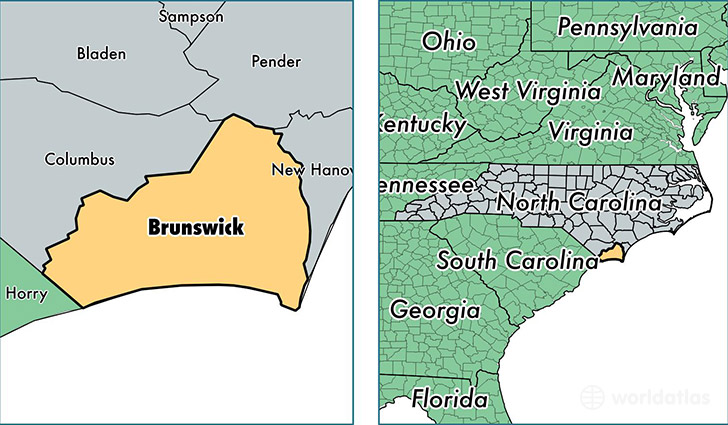
Brunswick County is a county equivalent area found in North Carolina, USA. The county government of Brunswick is found in the county seat of Bolivia.
With a total 2,719.53 sq. km of land and water area, Brunswick County, North Carolina is the 717th largest county equivalent area in the United States. Home to 118,836 people, Brunswick County has a total 79377 households earning 46438 on average per year.
Brunswick County, North Carolina offers the following attraction to visitors: USS North Carolina (BB-55)
Brunswick County, North Carolina - Quick Facts
| FIPS Code | 37019 |
| Area Codes | 910 |
| Time Zone | EST |
| Major Cities | Leland (population: 28,329), Southport (population: 16,850), Supply (population: 12,204), Shallotte (population: 11,122), Calabash (population: 9,093), Bolivia (population: 6,939), Oak Island (population: 6,824), Ocean Isle Beach (population: 6,101), Winnabow (population: 5,123), Sunset Beach (population: 4,571) |
| Land Area | 45,883 sq miles |
| Water Area | 849 sq miles |
| Household Income | $46,438 |
| Housing Units | 79,377 |
| Median Home Value | $186,600 |
| High School Grads | 86% of population |
| Holders of Bachelors Degrees | 25% of population |
| Retail Spending | $10,070 per capita |
| Food & Accomodation Sales | $150,576 per capita |
| Universities and Colleges | Brunswick Community College |
This page was last updated on June 30, 2016.