Where is Macoupin County, Illinois?
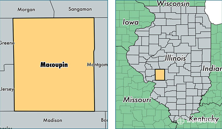
Macoupin County is a county equivalent area found in Illinois, USA. The county government of Macoupin is found in the county seat of Carlinville.
With a total 2,247.21 sq. km of land and water area, Macoupin County, Illinois is the 1042nd largest county equivalent area in the United States. Home to 46,453 people, Macoupin County has a total 21467 households earning 49590 on average per year.
Macoupin County, Illinois - Quick Facts
| FIPS Code | 17117 |
| Area Codes | 217,618 |
| Time Zone | CST |
| Major Cities | Carlinville (population: 8,260), Staunton (population: 6,886), Gillespie (population: 4,839), Virden (population: 4,079), Bunker Hill (population: 4,075), Girard (population: 3,713), Mount Olive (population: 3,275), Shipman (population: 2,073), Benld (population: 1,789), Palmyra (population: 1,437) |
| Land Area | 17,936 sq miles |
| Water Area | 863 sq miles |
| Household Income | $49,590 |
| Housing Units | 21,467 |
| Median Home Value | $93,900 |
| High School Grads | 89% of population |
| Holders of Bachelors Degrees | 16% of population |
| Retail Spending | $6,760 per capita |
| Food & Accomodation Sales | $26,082 per capita |
This page was last updated on June 30, 2016.