Where is Kootenai County, Idaho?
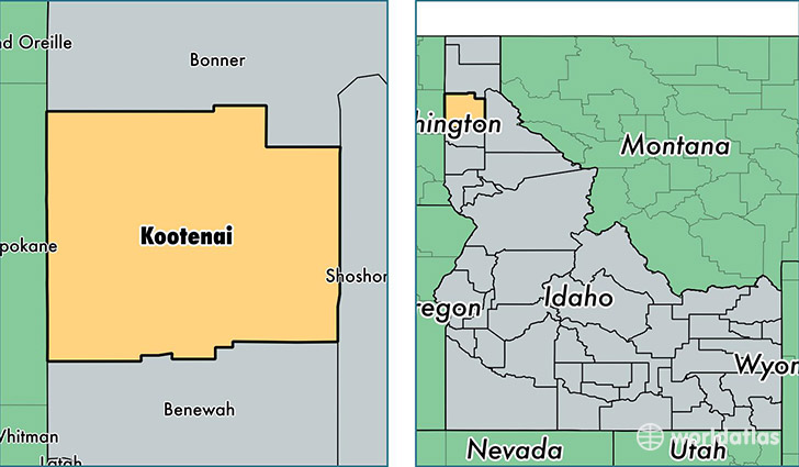
Kootenai County is a county equivalent area found in Idaho, USA. The county government of Kootenai is found in the county seat of Coeur d'Alene.
With a total 3,407.46 sq. km of land and water area, Kootenai County, Idaho is the 514th largest county equivalent area in the United States. Home to 147,326 people, Kootenai County has a total 64776 households earning 49002 on average per year.
Kootenai County, Idaho - Quick Facts
| FIPS Code | 16055 |
| Area Codes | 208 |
| Time Zone | PST |
| Major Cities | Coeur d Alene (population: 55,902), Post Falls (population: 38,283), Hayden (population: 20,547), Rathdrum (population: 14,036), Athol (population: 6,284), Spirit Lake (population: 4,237), Worley (population: 1,482), Cataldo (population: 1,219), Harrison (population: 1,196), Bayview (population: 760) |
| Land Area | 56,883 sq miles |
| Water Area | 1,244 sq miles |
| Household Income | $49,002 |
| Housing Units | 64,776 |
| Median Home Value | $188,800 |
| High School Grads | 92% of population |
| Holders of Bachelors Degrees | 23% of population |
| Retail Spending | $16,242 per capita |
| Food & Accomodation Sales | $303,725 per capita |
This page was last updated on June 30, 2016.