Where is Hawaii County, Hawaii?
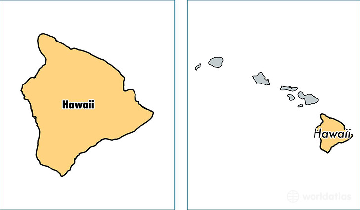
Hawaii County is a county equivalent area found in Hawaii, USA. The county government of Hawaii is found in the county seat of Hilo.
With a total 13,173.13 sq. km of land and water area, Hawaii County, Hawaii is the 80th largest county equivalent area in the United States. Home to 194,190 people, Hawaii County has a total 84445 households earning 51250 on average per year.
Hawaii County, Hawaii offers the following attractions to visitors: Hawaii Volcanoes NP, Kaloko Honokohau NHP, Pu'uhonua o Honaunau NHP, Pu'ukohola Heiau NHS
Hawaii County, Hawaii - Quick Facts
| FIPS Code | 15001 |
| Area Codes | 808 |
| Time Zone | PST-2 |
| Major Cities | Hilo (population: 47,190), Kailua Kona (population: 34,061), Keaau (population: 17,425), Pahoa (population: 14,729), Kamuela (population: 12,430), Mountain View (population: 8,524), Waikoloa (population: 6,755), Captain Cook (population: 6,649), Honokaa (population: 4,986), Ocean View (population: 4,653) |
| Land Area | 74,977 sq miles |
| Water Area | 4,029 sq miles |
| Household Income | $51,250 |
| Housing Units | 84,445 |
| Median Home Value | $309,800 |
| High School Grads | 91% of population |
| Holders of Bachelors Degrees | 26% of population |
| Retail Spending | $14,816 per capita |
| Food & Accomodation Sales | $874,735 per capita |
This page was last updated on June 30, 2016.