Where is Dolores Hidalgo Cuna de la Independencia Nacional, Mexico?
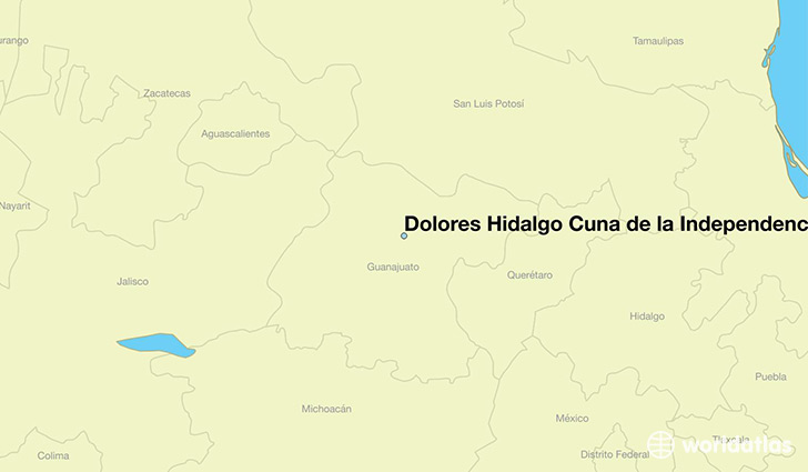
Dolores Hidalgo Cuna de la Independencia Nacional is a city found in Guanajuato, Mexico. It is located 21.16 latitude and -100.93 longitude and it is situated at elevation 1918 meters above sea level.
Dolores Hidalgo Cuna de la Independencia Nacional has a population of 59,240 making it the 10th biggest city in Guanajuato. It operates on the CDT time zone, which means that it follows the same time zone as Leon.
Quick facts
| Country | Mexico |
| Division | Guanajuato |
| Population | 59,240 |
| Elevation | 1,918 m over sea level |
| Time Zone | CDT |
| Longitude | -100.932500 |
| Latitude | 21.156110 |
This page was last updated on October 2, 2015.