Where is Ixtapa-Zihuatanejo, Mexico?
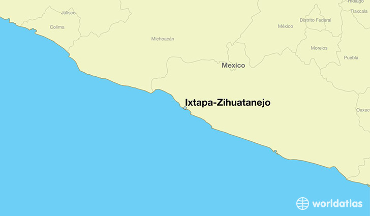
Ixtapa-Zihuatanejo is a city found in Guerrero, Mexico. It is located 17.64 latitude and -101.55 longitude and it is situated at elevation 13 meters above sea level.
Ixtapa-Zihuatanejo has a population of 61,308 making it the 4th biggest city in Guerrero. It operates on the CDT time zone, which means that it follows the same time zone as Acapulco de Juarez.
Quick facts
| Country | Mexico |
| Division | Guerrero |
| Population | 61,308 |
| Elevation | 13 m over sea level |
| Time Zone | CDT |
| Longitude | -101.552120 |
| Latitude | 17.643440 |
This page was last updated on October 2, 2015.