Maps of Singapore
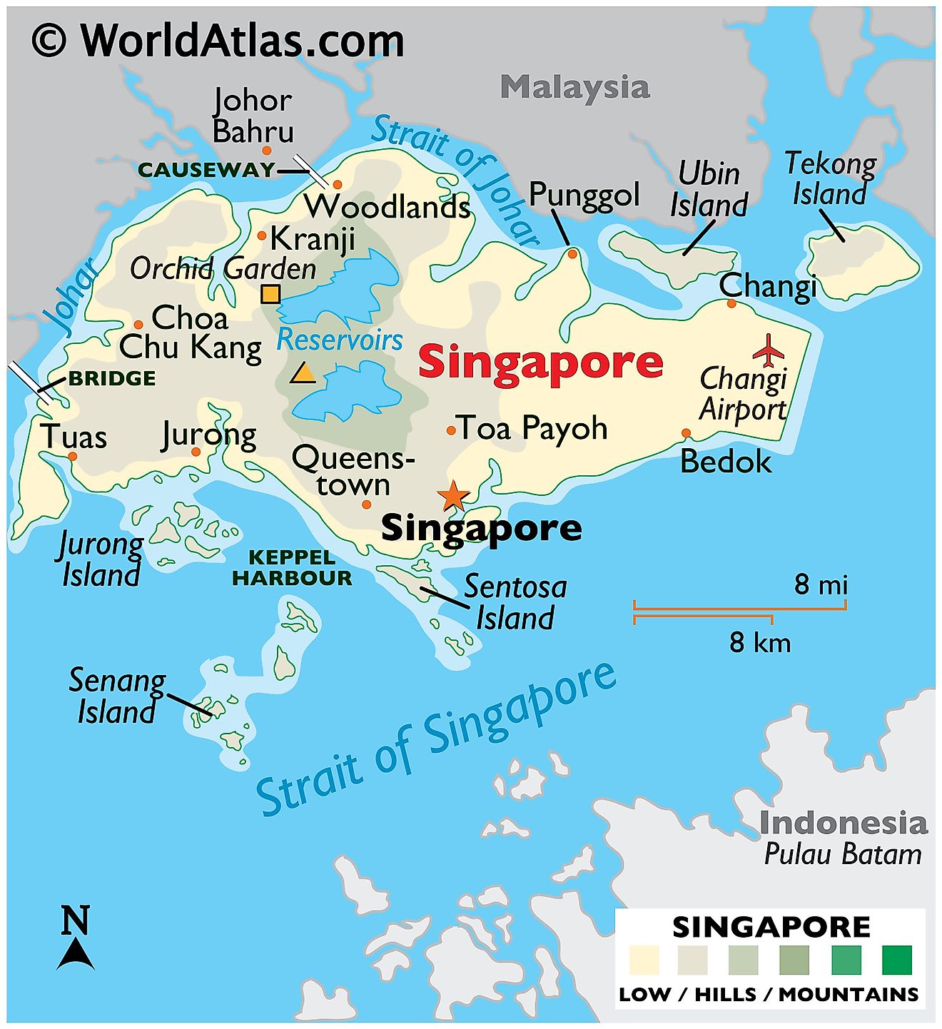
Singapore, an island city-state in Southeast Asia, lies off the southern edge of the Malay Peninsula and has a total area of about 734 km2 (281 mi2). It is separated from Peninsular Malaysia by the Straits of Johor to the north, and from Indonesia's Riau Islands by the Singapore Strait to the south. Numerous parks and reserves occupy the island, so while it is an urban environment, there is significant greenery contending for space.
Singapore Island: Singapore's main island, known as Singapore Island, or Pulau Ujong in Malay, represents the primary geographical region. This main island is diamond-shaped and flat, consisting of low-lying land with a central plateau. The Central Region, often referred to as Central Singapore, covers the central and southern parts of Singapore Island. This region contains the Central Area, also called the city area, and is the country's economic core. It consists of commercial areas such as the Central Business District and Marina Bay, as well as residential towns, including Bishan, Bukit Merah, and Queenstown.
The Northern and Western regions of Singapore, while predominantly residential, are also home to important industrial areas. The Northern region encompasses towns such as Woodlands and Sembawang, while the Western region includes Jurong and Tuas, which are important for manufacturing and port activities. Notably, Jurong Island, an artificial island to the southwest of the main island, hosts a thriving petrochemical industry.
The Eastern region of Singapore features a contrasting blend of residential towns and cultural heritage sites. Towns like Bedok, Pasir Ris, and Tampines can be found here, alongside the culturally rich areas of Geylang Serai and Joo Chiat. The eastern part of the island also hosts Changi Airport, Singapore's main aviation hub.
Bodies of Water: Singapore has limited natural freshwater resources, with water scarcity being a major concern. To compensate for this, the country relies on an extensive network of reservoirs. These bodies of water not only serve as a water supply but also as popular recreational areas. The Marina Bay Reservoir, for instance, is a significant body of water located in the heart of the city. It represents part of a comprehensive water catchment system that spans two-thirds of the city's area.
Rivers in Singapore are generally short and flow into the sea through the straits that surround the island. Among them, the Singapore River, a 3.2-kilometer long waterway, stands out due to its historical significance as the thriving port that laid the groundwork for Singapore's development.
Additionally, Singapore is dotted with numerous smaller islands. To the south of the main island, the Southern Islands, a collection of about 60 islets, provide a different perspective of Singapore’s geography. These include Sentosa Island, a popular tourist destination with theme parks and beach resorts, and the Sisters' Islands, designated as a marine park for conservation.
Community Development Councils of Singapore Map
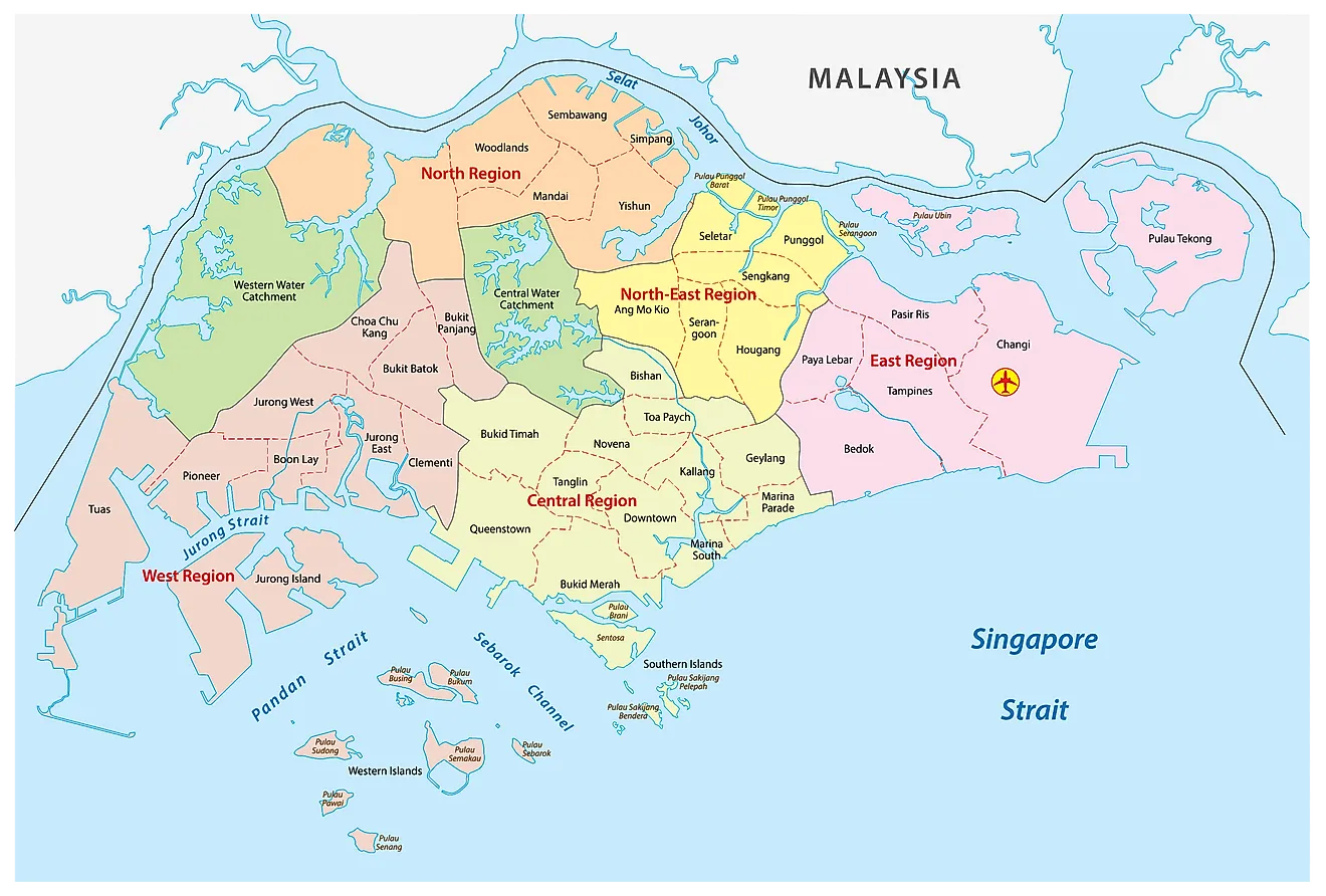
Singapore (officially, Republic of Singapore) is a unitary state and is divided into 5 Community Development Councils (CDCs). In alphabetical order, these councils are: Central Singapore CDC, North East CDC, North West CDC, South East CDC and South West CDC. Each Community Development Council has been further subdivided into electoral constituencies and town councils.
Singapore is the largest port in Southeast Asia and one of the busiest maritime ports in the world. With an area of only 725.7 sq. km, the country is home to a population of over 5 million residents. Singapore has the second greatest population density in the world. Singapore is the only true sovereign city state in the world.
Where is Singapore?
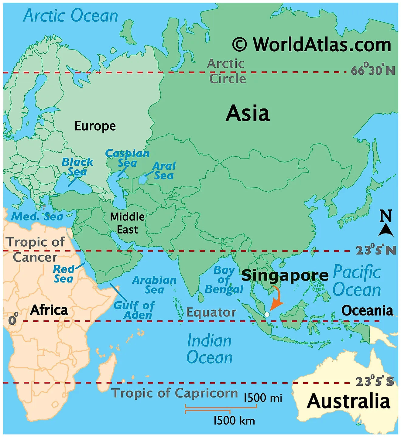
Singapore is an island country located off the coast of the southern tip of the Malay Peninsula in Southeast Asia, between the Indian Ocean and South China Sea. It is located in both Northern and Eastern hemispheres of the Earth. In fact, Singapore is just one degree of latitude above the Equator. The country borders South China Sea to the east, the Strait of Malacca to the west, and the Riau Islands lie to the south.
Regional Maps: Map of Asia
Outline Map of Singapore
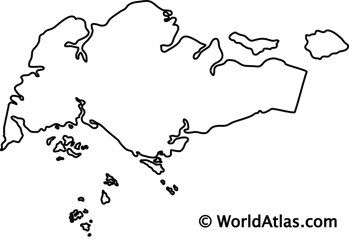
The outline map above represents Singapore, an island country and city state. The map can be downloaded, printed, and used for coloring or map-pointing work.
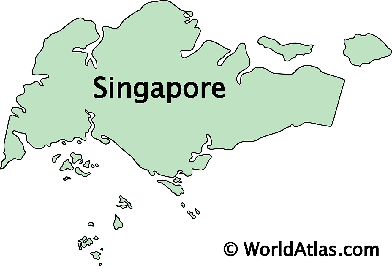
The outline map above represents Singapore, an island country and city state. The country consists of the main island of Singapore and several smaller islands.
Key Facts
| Legal Name | Republic of Singapore |
|---|---|
| Flag |
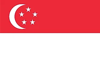
|
| Capital City | Singapore |
| 1 17 N, 103 51 E | |
| Total Area | 719.00 km2 |
| Land Area | 709.00 km2 |
| Water Area | 10.00 km2 |
| Population | 5,703,569 |
| Largest City |
Singapore (6,080,859) |
| Currency | Singapore dollars (SGD) |
| GDP | $372.06 Billion |
| GDP Per Capita | $65,233.28 |
This page was last updated on July 26, 2023
