Kuril Islands
The Kuril Islands is an island group in the Russian Far East that forms the boundary between the Pacific Ocean and the Sea of Okhotsk. The archipelago, administered as part of Sakhalin Oblast (Russia), extends for about 1,300 kilometers from Kamchatka Peninsula’s southern tip to Hokkaido (Japan) northeastern corner. The archipelago comprises 56 islands and several islets and rocks and covers over 15,600 square kilometers. The islands are divided into Greater and Lesser Kuril Chains and have a total population of over 20,000 people. Although Russia administers all the Kuril Islands, some islands are at the heart of the Russo-Japanese feud known as the Kuril Islands dispute. Japan considers the four southernmost islands as part of its Northern Territories.
Naming Of Kuril Islands
The Kuril Islands, also spelled as Kurile, are known as Chisima Islands in Japan and Kurilskiye Ostrova in Russia. The islands are sometimes referred to as Kuriru Islands. The name “Chisima” translates to “Thousand Islands Archipelago.” Kuril originated from the autonym “Kur,” designated by the aboriginal Ainu people, islands' first inhabitants. The name is also closely related to the names of the other islands originally inhabited by the Ainu people, including the Kuyi Island. The islands are also informally known as “Kurit,” meaning “to smoke” because of the steam and fumes from the nearby volcanoes.
Geography Of Kuril Islands
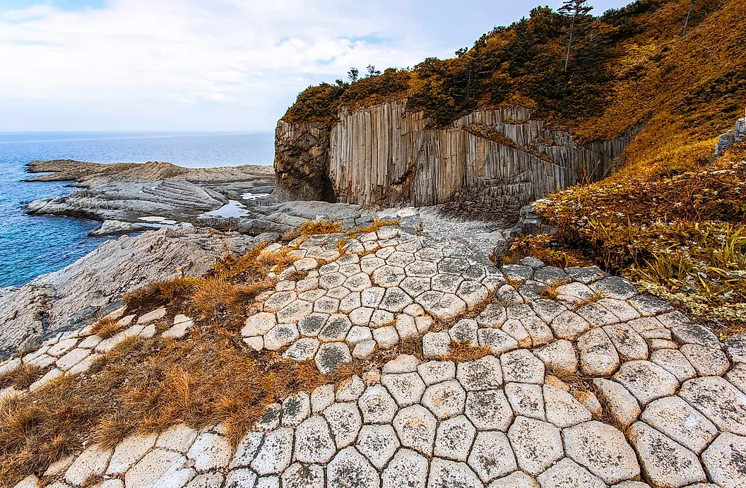
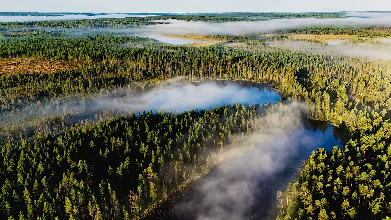
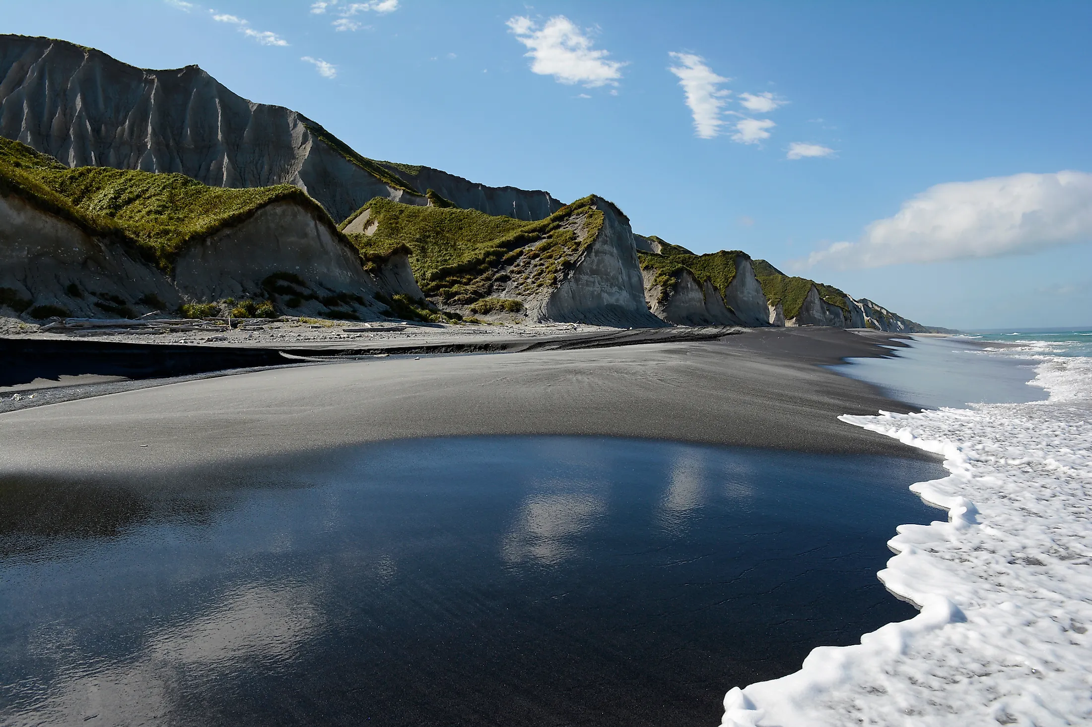
The Kuril Islands are part of the Pacific Ring of Fire, a region in the Pacific Ocean that experiences frequent earthquakes and volcanic eruptions. The islands are part of the stratovolcanoes that were formed through the subduction, a process that also formed the Kuril Trench. The Kuril Islands are located between the Kamchatka Peninsula and Hokkaido and separate the Pacific Ocean (on the east) and the Sea of Okhotsk on the west.
The archipelago comprises 22 major islands, 36 smaller islets, and several rocks covering 15,600 square kilometers. The islands are divided into three groups; Northern, Central, and Southern Kuril Islands, with deep straits of up to 2,000 meters separating the island groups. The Northern Kuril Islands include islands between Shumshu and Shiashkotan. Central Kurils comprise islands between Matua and Simushir, while the Southern group is from Chirpoy to Kunashir. The Krusentern Strait separates the Northern and Central Kuril Islands, while the Boussole Straits runs between the Central and Southern Kuril Island groups.

The Kuril island chain has about 100 volcanoes, of which about 35 are active. The islands also contain fumaroles (steam emitting openings on the Earth's surface) and hot springs. The island region experiences frequent seismic activities, including high magnitude earthquakes such as the 1963 and 2006 Kuril Island Earthquakes that recorded magnitudes 8.5 and 8.3. The islands also experience high tidal waves. The Kuril Islands' highest elevation is Alaid Volcano at 2,339 meters above sea level, with the volcano located on Atlasov Island.
Climate
The archipelago’s climate ranges from sub-Arctic to temperate, with the vegetation ranging from dense larch and spruce forest to tundra. However, most islands experience a sub-Artic climate. Kunashir Island's climate is classified as humid continental. The climate is characterized by short, foggy winter and long, cold winter. The average annual precipitation ranges from 1,020 to 1,270 millimeters. Summers are mild, with temperatures rising above 10 degrees Celsius for only 1-3 months.
Ecology Of Kuril Islands

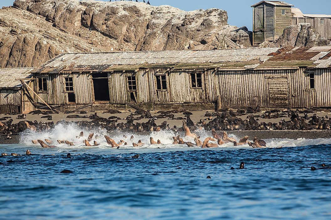
The Kuril Islands are surrounded by some of the most productive waters in the Pacific Ocean, with the waters containing abundant marine life, including invertebrates, fish, and sea birds. The invertebrates include mollusks, sea urchins, and squids. The fish species include Pacific cod, walleye Pollock, sardines, and flatfish. The waters also contain seals that are important food, bones, and skins sources for the Native population. The islands host numerous seabirds, including tufted puffins, northern fulmars, guillemots, cormorants, and petrels. The terrestrial species on the islands include the Arctic and red foxes, brown bears, martens, deers, peregrine falcons, ravens, wagtails, and wrens.
Administration Of Kuril Islands
Russia administers all the Kuril Islands as part of its easternmost territory. The islands, which are part of Sakhalin Oblast, are divided into three raions (districts): Kurilsk, Severo-Kurilsk, and Yuzhno-Kurilsk Districts. However, Japan claims four islands, namely Shikotan, Iturup, Habomai, and Kunashir. The Japanese bases their claim of the four southernmost islands on the 1855 Treaty of Delimitation, Navigation, and Commerce that established the border between Irup and Iturup. Japan considers the four islands as its Northern Territories.