Flinders Island
A closer look at the map of Australia reveals a collection of approximately 100 islands off the northwestern tip of the main island of Tasmania. These islands that extend across the Bass Strait, a narrow channel between Mainland Australia and Tasmania, are collectively known as the Furneaux Group. The Flinders Island, located northeast of Tasmania, is the largest of the Furneaux Group of Islands. The island was named in honor of the English Navigator Matthew Flinders, the first European to circumnavigate Australia. Administratively, Flinders Island forms a part of the Tasmanian state. The island produces some of Australia’s quality food products and is home to a large population of Cape Barren goose.
Location
The Furneaux Group of Islands are located between Tasmania and the State of Victoria on the mainland of Australia. These islands line the Bass Strait's eastern end and are made up of three large and several smaller islands and islets. The largest islands from north to south are Flinders, Cape Barren, and Clark Islands. Flinders Island is located off the northeastern tip of the island of Tasmania and to the north of Cape Barren Island. The Cape Barren and Flinders Islands are separated by the Franklin Sound, containing some Furneaux Islands. Flinders Island is surrounded by several smaller islands, including Outer Sister and Inner Sister Islands on the north; in the west by the Prime Seal, Badger, Goose, Big Green, and Chalky Islands; in the southwest by the Long Island; in the south by the Great Dog, Little Dog, Anderson, and Vansittart Islands; and in the east by Barbel and Carl Islands.
Geography and Climate

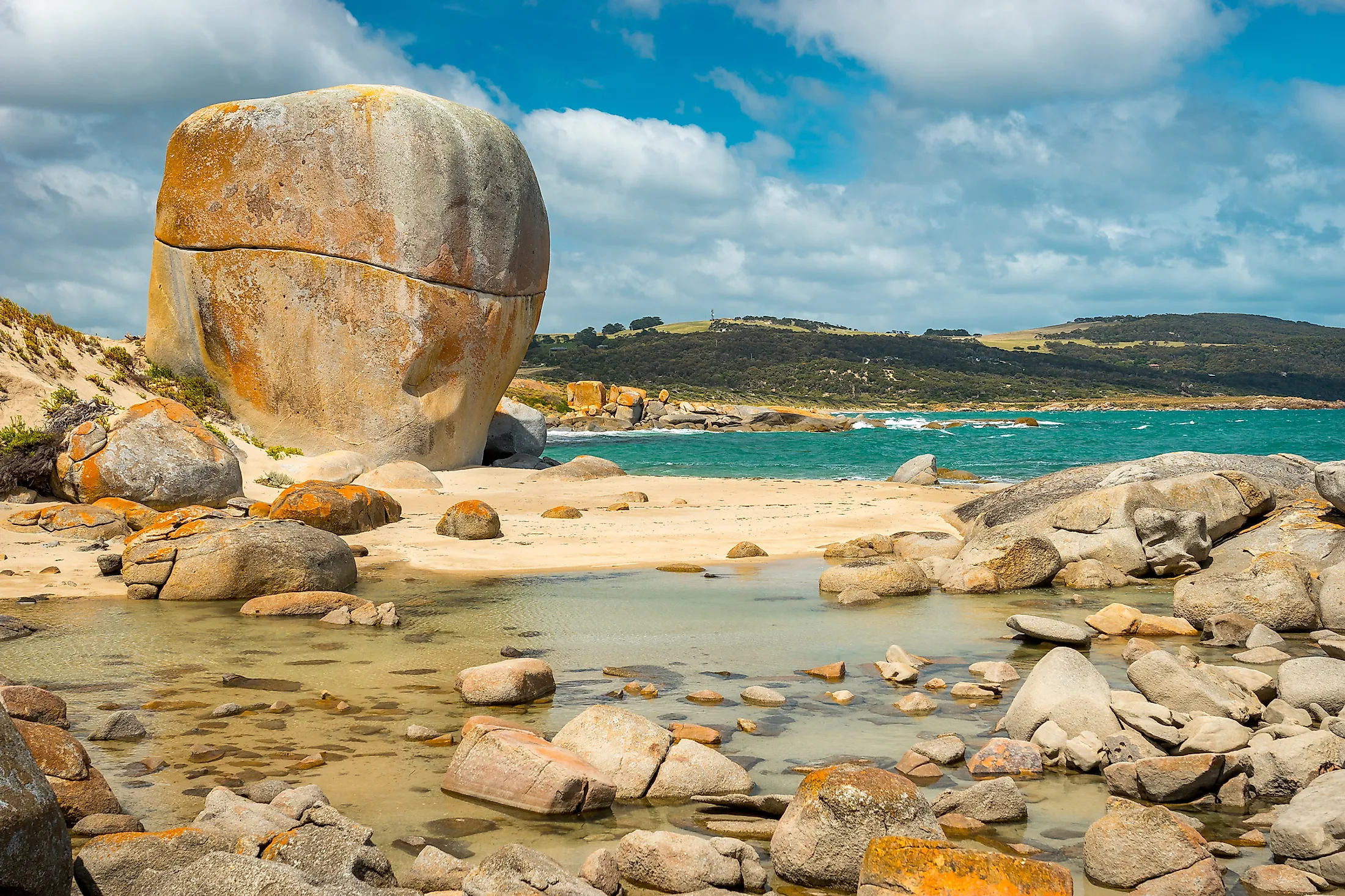
The Flinders Island resembles an imperfect rectangle and covers an area of approximately 1,367 square kilometers, making it the second-largest island in the state of Tasmania. The island is 62 kilometers long from north to south and 37 kilometers wide at the widest point. About a third of the island's total area is rugged and mountainous, with granite ridges running from north to south. The highest elevation, Mount Strzelecki, is on the southwestern side and rises 756 meters above sea level. Sand deposits dominate the coastal areas, with the dune deposits blocking drainage to form lagoons, especially on the eastern shores.

A little under two-thirds of the island is divided into National Park, coastal reserves, lagoons, and bushlands, containing some of the island’s natural attractions and fascinating histories. The remainder of the area supports quality agriculture. Flinders experience oceanic climate, influenced by the Bass Strait. The summer seasons are less cloudy and drier than the winter seasons. The island receives a mean annual rainfall of below 800 mm, with temperatures ranging from 20.3 degrees Celsius in June to 41.5 degrees Celsius in January.
Flora and Fauna

The Furneaux Group, including the Flinders Island, has over 800 plant species and exhibits a biodiverse ecosystem. The island's vegetation at lower elevations, especially in coastal areas, comprises shrubs or scrubs, while woodland dominates higher elevation areas. The eucalyptus trees dominate the mountainous and hilly areas. The island is home to several native bird species, including short-tailed shearwater and Cape Barren goose. Common mammals on the island include potoro, Bennett's wallaby, eastern pygmy possum, common ringtail possum, brushtail possum, and Tasmanian pademelon. The only placental mammal found on Flinders Island is the Cape fur seal. The island also provides a habitat for the feral turkeys.

About 30 square kilometers area on the east and north of Whitemark is designated as an Important Bird Area because it is a habitat for flame robin and has breeding colonies for forty-spotted pardalotes. It also hosts several endemic bird species, including the yellow-throated honeyeater, green rosella, black-headed honeyeater, Tasmanian thornbill, and strong-billed honeyeater. Another Important Bird Area covers 187 square kilometers on the eastern coastline, with the area supporting ferry terns, hooded plovers, sooty oystercatchers, and pied oystercatcher.
Population and Settlement
Around 1,010 people lives on the island as of 2019, with fishing and farming as their main occupations. The island's population density is 0.673 people per square kilometer, making it one of the least crowded inhabited Australian islands. Major settlements include Lady Baron, Whitemark, Blue Rocks, Wingaroo, and Killiecrankie. The island farmers produce high-quality products like lamb, beef, and wool, with fishermen harvesting mainly scallops, crayfish, giant crabs, and abalone.


