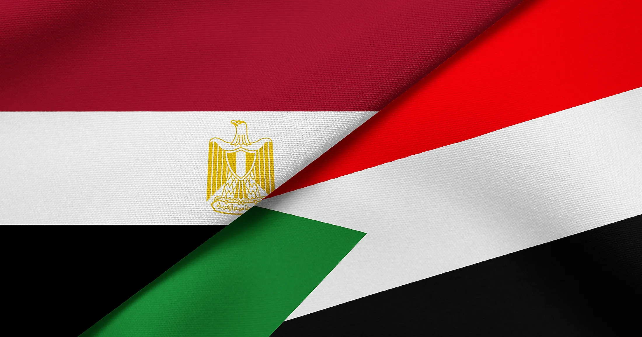
The Egypt-Sudan Border Dispute
Sudan borders Egypt to the south, with both countries having a coastline along the Red Sea. The two countries share a 1,276 kilometers long border that runs eastwards from Gabal El Uweinat, a tripod area on the Sudanese-Egyptian-Libyan border, along the 22nd parallel north. The border follows a straight line from the tripod to Lake Nasser then briefly detours northward to form a salient known as “Wadi Halfa.” From the salient, the border returns to its course on the 22nd parallel and proceeds to the Red Sea, terminating near Ras Hadarba (Cape Elba). This long border between the two countries is, however, not free of disputes. The two disputed areas along their borders are Halayib Triangle and Bir Tawil.
Border Disputes Between The Two Countries

Egypt’s longest land boundary is its border with the southern neighbor, Sudan. The Egypt-Sudan border is divided geographically into three sections; western, central (including the salient), and an eastern section. Although they have coexisted peacefully like good neighbors, the two countries have engaged in a territorial dispute over the last seven decades. The border’s eastern section (after the salient) is a major cause of territorial dispute between the two countries.
According to Sudan, its border with Egypt follows the 22nd parallel for about 183 kilometers from the Wadi Halfa salient, then shifts south, leaving Bir Tawil on the Egyptian side. It then proceeds northeastwards, leaving Hala’ib Triangle within the Sudanese territory. However, Egypt insists the border follows the 22nd parallel from the salient to Cape Elba, leaving the Triangle within Egypt. The triangular region is suspected to contain rich natural resources, with both countries interested in exploring it for oil and gas reserves. Although it ceded its control to Egypt, Sudan insists the area is its territory, and the people inhabiting the region are ethnically Sudanese. Besides the Hala’ib Triangle, there is also the Bir Tawil’s issue.
Halayib Triangle
Halayib Triangle, also known as Hala’ib Triangle, is named after Halaib Town, a town located within the triangular region. The region, covering approximately 20,580 square kilometers, is created by the difference in the Egypt-Sudan border location between the 1899 political boundary established by the Anglo-Egyptian Sudan and the 1902 administrative boundary set by the British. The political boundary runs along the 22nd parallel north, while the administrative boundary shifts northeastwards, creating the triangular region. However, the area only resembles a triangle; it is not a perfect triangle.
There are two major towns in the Halaib Triangle; Abu Ramad and Hala’ib, of which both are located on the Red Sea coast. Because of the difficult living conditions in the triangle region, caused by extreme aridity and strict security measures, there is little economic activity in the region, with most settlers being nomads. However, the region is rich in natural resources, including manganese. Sudan considers the Halaib Triangle as part of its Red Sea State, while the Egyptians govern it as part of the Red Sea Governorate.
Anglo-Egyptian Sudan And The Boundaries
In 1820, the Egyptian army under Ismaili Pasha’s command took control of Sudan, marking the beginning of over a century-long tie between the two countries. Egyptian Muhammad Ali Pasha, looking to expand his powers, considered Sudan a suitable addition to his area of dominion. He and his successors ruled Sudan and Egypt as one entity. The region became economically and strategically important to the western powers, particularly the British, following the Suez Canal opening in 1876. In 1882, the British forced out the Urabi government and occupied the rest of Sudan and Egypt, effectively controlling the region’s affairs.
On January 19, 1899, Egypt and the UK agreed on “Soudan” (Sudan)'s administration, described as the region to the 22nd parallel’s south. At the time, the Anglo-Egyptian agreement set the boundary along the 22nd parallel north latitude and allowed Egypt to use and control Sawakin on the Red Sea’s western coast. In November 1902, the British established a new administrative boundary, placing Ababda territory, located south of the 22nd parallel, under Egyptian control. On the other hand, Sudan was to control about 18,000 square kilometers of land on the north of the line, including Abu Ramad and Halaib.
Sudan’s Independence And The Boundary Conflict

The 1950s was a defining period in the history of Sudan as an independent country. In 1953, the Sudanese were granted self-government after an agreement was reached between its representatives, the UK, and Egypt. One year later, the UK and Egypt agreed to grant Sudan its independence on January 1, 1956. In 1956, Sudan became an independent country, ending its 135-year union with its northern neighbor. However, it also marked the beginning of a territorial dispute between the two countries.
After Sudan’s independence, disagreement over the Triangle’s control arose between Sudan and Egypt. Egypt insisted the border followed the 1899 political boundary, while Sudan held on to the 1902 administrative boundary, leading to both countries claiming sovereignty over the Halayeb Triangle. Consequently, Bir Tawil, previously controlled by Egypt, became a “no man’s land.”
In 1958, as Sudan prepared to hold elections in the Triangle, the Egyptian troops were sent to the region, as Egypt, the United Arab Republic, and Syria prepared for the proposed unification referendum. The troops withdrew from the region shortly after, and the two countries administered the Triangle jointly until the early 1990s. In 1992, Egypt objected to Sudan’s plan to allow a Canadian oil company to explore the region’s coastal area, leading to further hostility between the two nations, including a failed assassination attempt on President Hosni Mubarak. Egypt responded by strengthening its control.
In 1998, Sudan and Egypt agreed to work together to resolve the border dispute. By 2000 Sudan had withdrawn its troops from the region, and Egypt took control of the border zone. Despite it withdrawing its troops, Khartoum insisted Halayeb Triangle is a Sudanese territory. However, the Egyptian government continues to administer and develop the area, including supplying electricity to Alshalateen.
The Bir Tawil Question

Bir Tawil is an unclaimed and uninhabited area along the Egypt-Sudan border. It is located southeast of the Halayeb Triangle and is sometimes referred to as Bir Tawil Triangle. The quadrilateral region covers about 2,060 square kilometers and resulted from the difference in the 1899 political boundary and 1902 administrative boundary. It is considered as the Earth’s only habitable place not claimed by any sovereign country. If Egypt claims the area, it will have to forego Halayeb Triangle because it will have recognized the 1902 administrative boundary. Likewise, if Sudan claims Bir Tawil, it will have accepted the 1899 political boundary, thereby surrendering the Triangle.
When the British established the administrative boundary between Sudan and Egypt in 1902, Bir Tawil became an Egyptian territory, with Egypt administering the area until Sudan attained its independence. The Ababda tribe used the area as their grazing land. Although Bir Tawil is unclaimed by neither country, organizations and individuals have tried to claim it as a micronation. However, none of the claims have been recognized so far.


