Where is Angers, France?
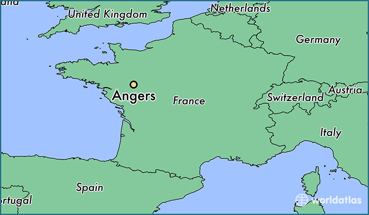
Angers is a city found in Pays-de-la-Loire, France. It is located 47.47 latitude and -0.55 longitude and it is situated at elevation 50 meters above sea level.
Angers has a population of 168,279 making it the 2nd biggest city in Pays-de-la-Loire. It operates on the CEST time zone, which means that it follows the same time zone as Nantes.
Quick facts
| Country | France |
| Metropolitan region | Pays-de-la-Loire |
| Population | 168,279 |
| Elevation | 50 m over sea level |
| Time Zone | CEST |
| Longitude | -0.550000 |
| Latitude | 47.466670 |
This page was last updated on October 2, 2015.