Where is Rouen, France?
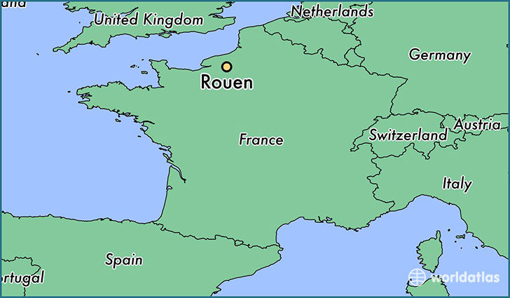
Rouen is a city found in Upper Normandy, France. It is located 49.44 latitude and 1.10 longitude and it is situated at elevation 21 meters above sea level.
Rouen has a population of 112,787 making it the 2nd biggest city in Upper Normandy. It operates on the CEST time zone, which means that it follows the same time zone as Le Havre.
Quick facts
| Country | France |
| Metropolitan region | Upper Normandy |
| Population | 112,787 |
| Elevation | 21 m over sea level |
| Time Zone | CEST |
| Longitude | 1.099320 |
| Latitude | 49.443130 |
This page was last updated on October 2, 2015.