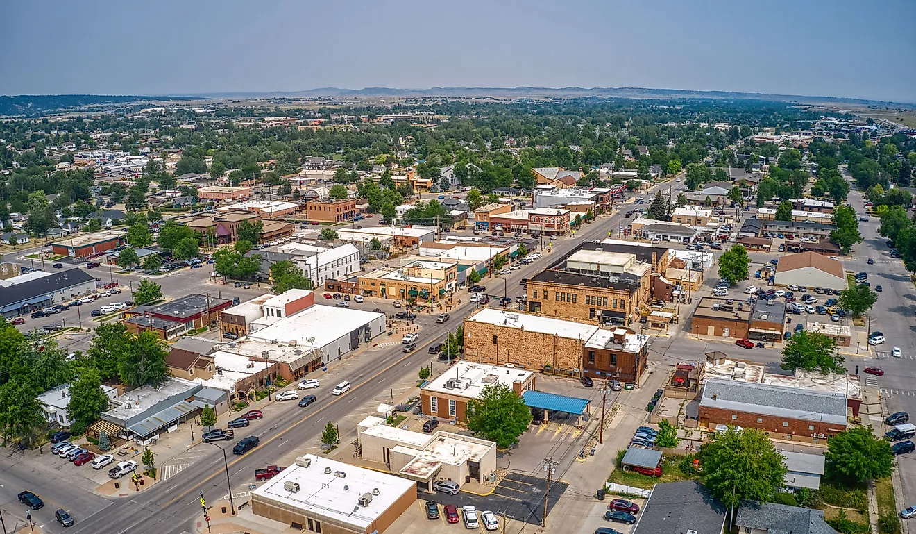
Van Buren, Missouri
Named after Martin Van Buren, who served as the 8th President of the United States, Van Buren is a picturesque river community of fewer than 1000 people in Carter County of the US State of Missouri. Once a thriving logging economy that was reliant on the woodlands within the Ozark Mountains, the city later saw depleted resources and the logging boom go bust. Since then, Van Buren has turned to nature conservation, with Mark Twain National Forest at its doorstep and the Ozark National Scenic Waterway forming the core of this tranquil town's history.
Geography And Climate Of Van Buren

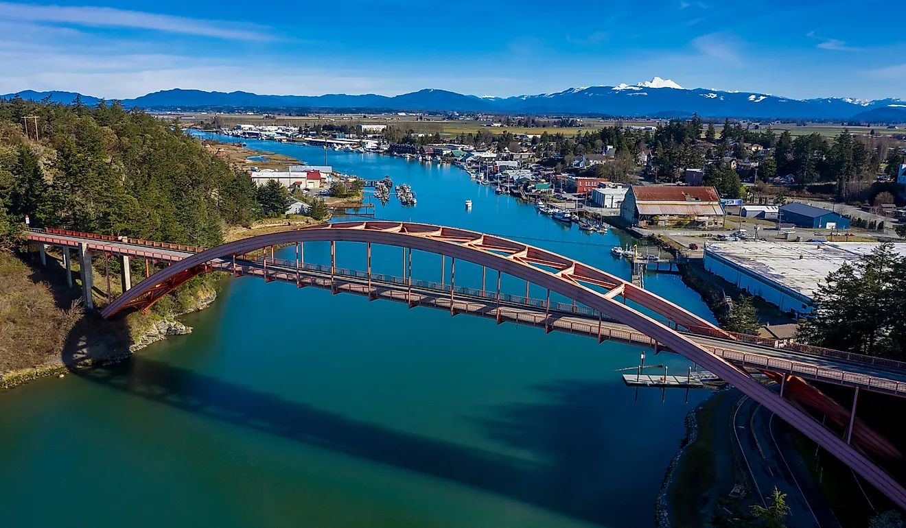
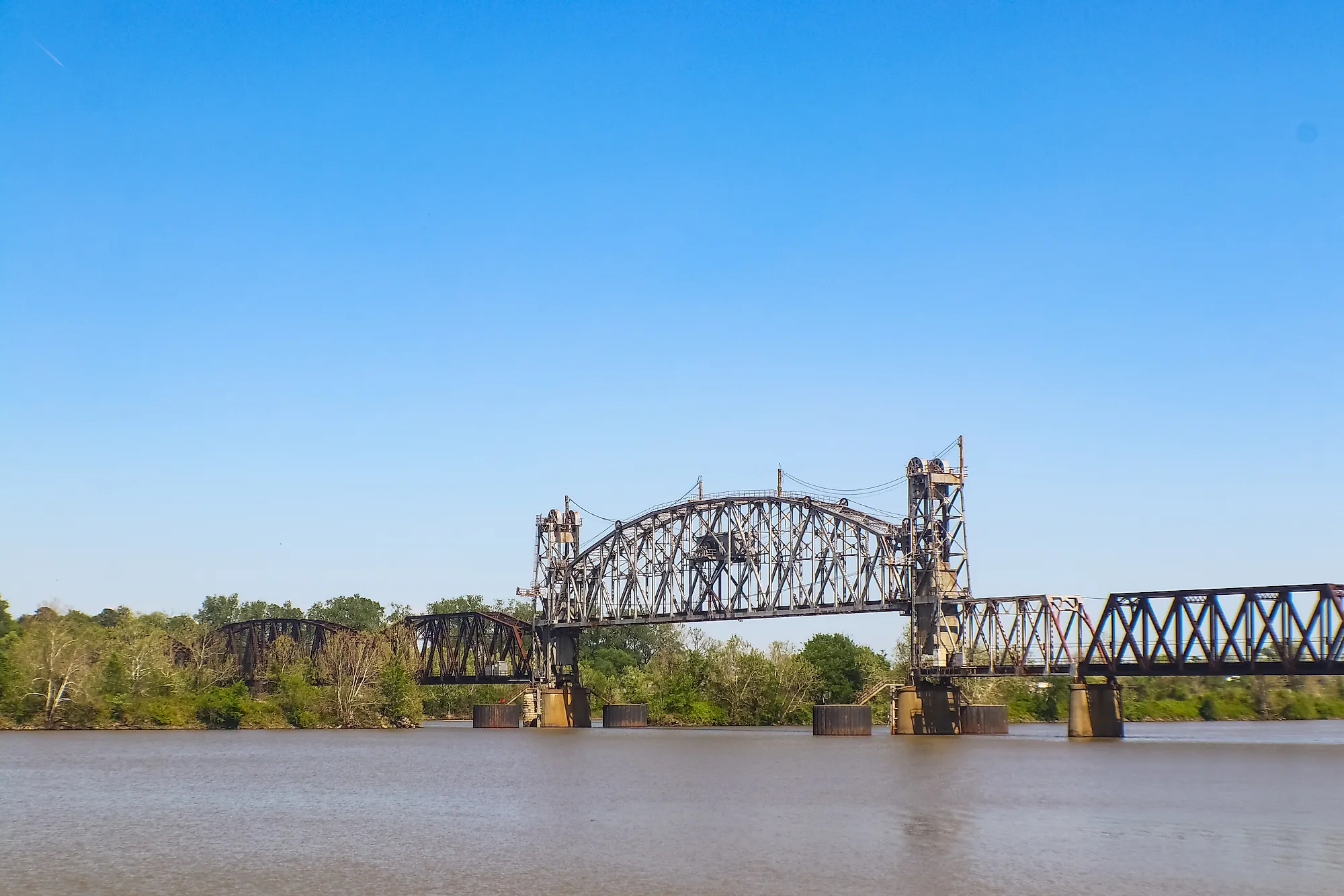
Van Buren covers a total area of 5.18 sq. km, all of which is occupied by land. Found along the banks of the Current River and adjacent to Mark Twain National Forest, Van Buren resides in a geographical area of the Courtois Hills, a part of the Ozark Mountains of Southeast Missouri. The land comprises steep limestone ridges, natural springs, forests, and creeks.

Van Buren experiences a humid continental climate with long, humid summers and short snowy winters. Without the protection of large bodies of water or mountains, Van Buren sees extreme temperature fluctuations influenced by cold arctic air or warm air from the Gulf of Mexico. The city receives an average rainfall of 1196.34mm per year and an average snowfall of 197.58mm. The year's coldest month is January, with a median temperature of -6.33 degrees Celsius, and the year's warmest month is July, with a median temperature of 32.72 degrees Celsius.
Brief History Of Van Buren

Originally part of Ripley country, Van Buren was founded in 1833 and was named after former US President Martin Van Buren. It finally became a portion of Carter county in 1852 when Shannon and Ripley counties were reorganized. During the American Civil War, the Union camped out in the forest around Van Buren from the winter of 1862 to 1863. The area would see minor confrontations around the Snider House. With the conclusion of the war, Van Buren saw a thriving timber industry fed by its nearby waterways, including the Current River, where logs would float down from 1890 to 1900. However, this wouldn’t come without consequences, as 100,000 acres of forest were harvested from Carter County. With the depleted woodland resources, the logging industry collapsed, and mills were closed. In 1924, 4,582 acres of the Ozark Grandeur became what is known as Big Spring National Park, the largest single orifice spring in the United States. A large portion of Carter county is situated in Clark National Forest, which was founded in 1933. In June 1973, Clark National Forest was incorporated into Mark Twain National Forest.
Population And Economy Of Van Buren
Van Buren has a population of only 747 inhabitants. Overall it ranks 393rd among Missouri's largest cities, and on the US list of the most populous cities, it ranks 11,548th. Van Buren sits at an altitude of 144m and has a population density of 154.13 inhabitants per sq. km. The median household income is $43,004, with a gross monthly rent of $614. Alas, 18.66% of the population lives below the poverty line. The average age of a Van Buren resident is 38.3 years old. On the cost of living index, Van Buren is rated at 78.3, whereas the state of Missouri is 85.9.
The city's unemployment rate is 6.2% more than the US average of 6.0%. The most significant economic driver in Van Buren is the manufacturing sector, which contributes 16% overall. Other sectors that make up the economy include retail (15.7%), healthcare and social assistance (14.4%), and accommodations and food services (14.1%). Unlike the lumber economy that drove Van Buren, few lumberyards are located within the town. Instead, construction makes up most of the manufacturing sector with 85 workers, 78 healthcare employees, and 65 workers in the food and accommodation sector.
Attractions In Van Buren
Ozark National Scenic Waterway

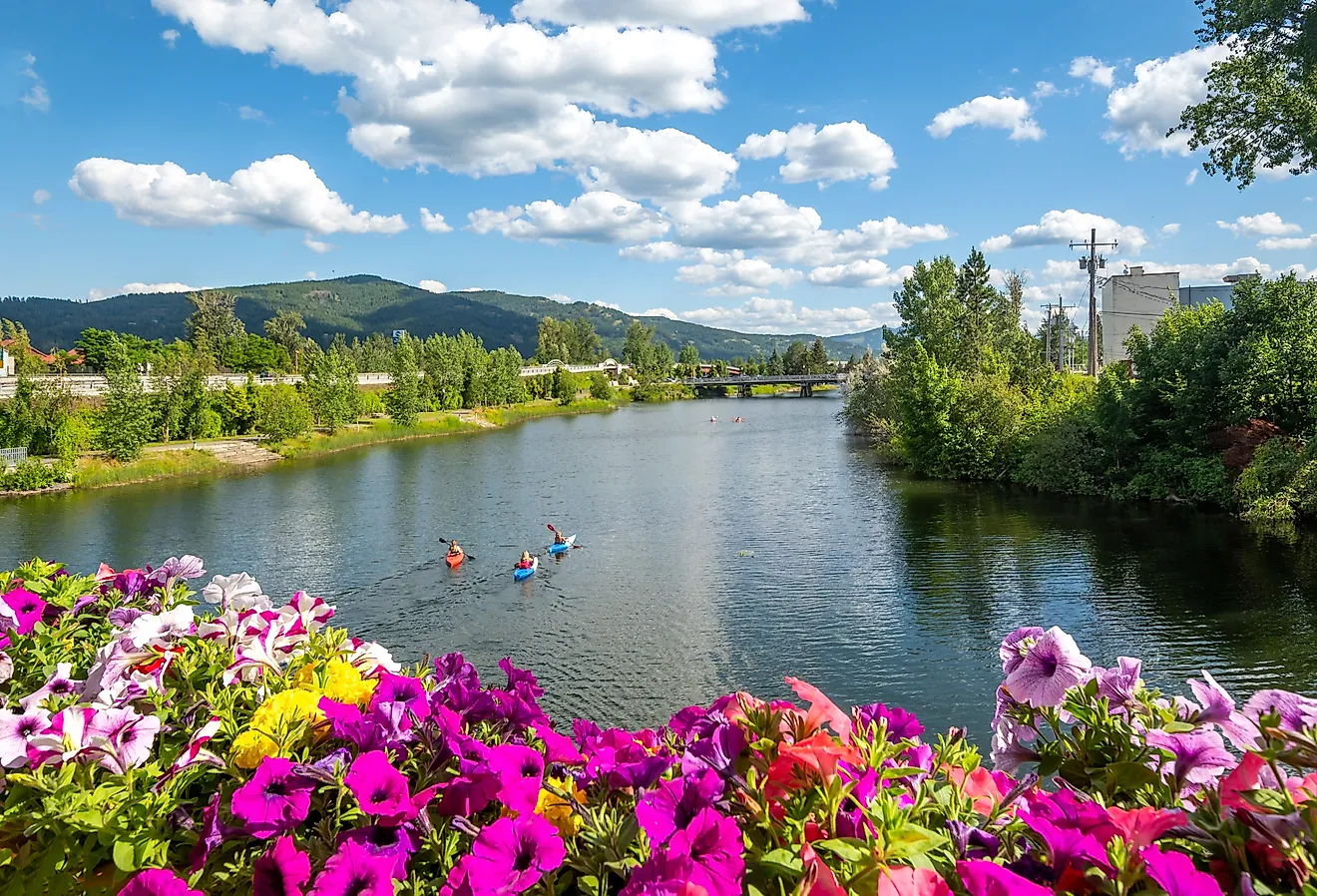
The Ozark National Scenic Waterway is the first designation in the United States to protect a river. Known as a floating river for its shallow and somber moving waters, residents and tourists alike can come with intertubes and drift down the river. But that’s not the only activity available here, at the peak of summer, this is a prime location for canoeing, kayaking, fishing, or a riverside picnic. The Ozark National Scenic Waterway is also home to the Alley Mill, and there are many trails and caves in proximity for nature and adventure enthusiasts.
Mark Twain National Forest

Founded in 1939, Mark Twain National Forest was named after the renowned author Mark Twain. It covers an area of 12,419 sq. km and is found in the southern part of the state of Missouri, covering 29 counties in total. It includes Greer Spring, Eleven Point Scenic Byway, Glade Top Trail Scenic Byway, and 563 km of the Ozark Trail. Along with hiking and backpacking, the Mark Twain National Forest incorporated 2 ATV or UTV trail systems, making this an outdoor enthusiast's playground.
Watercress Park Recreation Area and Campground
Only 11 km from Big Spring, the Water Cress Recreation Area and campground are a part of the southern section of the Mark Twain National Forest. The campground rests on the banks of the historic Current River and is great for boating or fishing for catfish. It contains electrical hook up for those with RVs and is beside the Ozark National Scenic Waterway. The Songbird Trail leads to the Watercress Spring and overlooks the Current River within the larger recreation area.