The 12 Can't-Miss Towns In California's Sierra Nevada
Plenty of Californians know the Sierra as the long drive to Tahoe or Mammoth. That drive passes some of the best small towns in the state. Truckee is where you snowshoe along Donner Lake and thaw out in a visitor center full of emigrant and railroad history. Saturday nights in Nevada City mean a show in an 1865 theater or a band inside an old mining foundry. June Lake’s village has a ski mountain right above the houses and two lakes right below them. Twelve towns like these are spread the length of the range, foothill timber country and high eastern basins alike. Each one earns a full night off the highway.
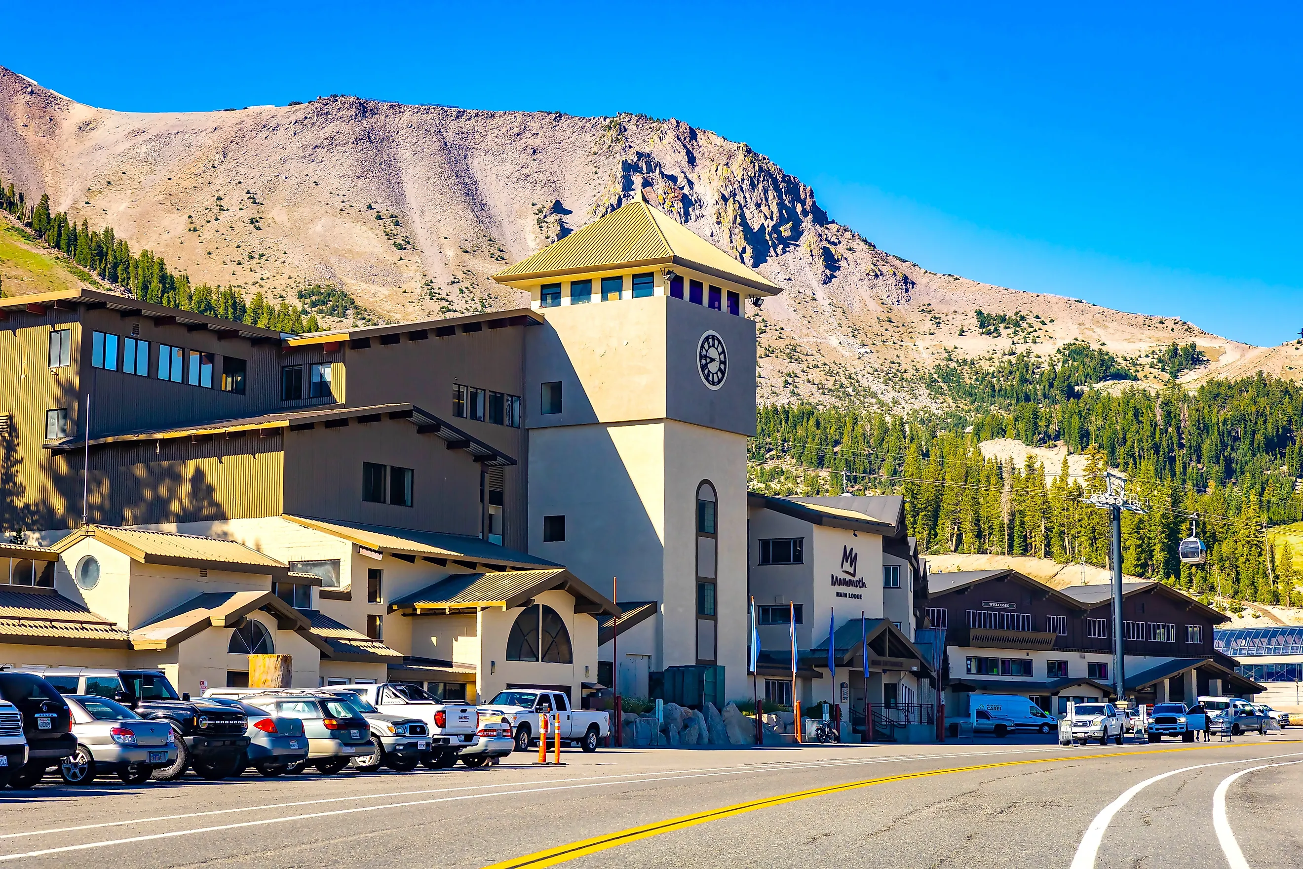
Mammoth Lakes

The columns at Devils Postpile stand around 60 feet tall and look stacked by hand, though the neat shapes formed as lava cooled and contracted. Mammoth Lakes is your base for getting out there. Keep walking past the columns and you'll reach Rainbow Falls, where the Middle Fork of the San Joaquin River drops 101 feet and throws spray high above the pool. Check Reds Meadow Road before you go, since it has construction restrictions in 2026 on top of its usual winter closure.
Back up above town, the Mammoth Lakes Basin is worth a whole second day. The lake roads close to regular traffic in winter, and in summer a free Lakes Basin Trolley runs between town and the water. Rent a kayak at Lake Mary, which has marinas on opposite shores. Coldwater Campground nearby is where the trailheads start for longer walks into the basin. At Twin Lakes, follow the shoreline under the volcanic cliffs and look up to spot Twin Falls above the water. You can rent a boat at Tamarack Lodge and sleep in one of its historic cabins beside the lakes.
June Lake

Head north to June Lake and you get a village wedged between June and Gull lakes with mountain walls rising right behind it. The 16-mile June Lake Loop swings past Silver and Grant lakes too. Start on June Lake's sandy swimming beach, then rent a boat on Gull Lake and poke around the shoreline. If you'd rather walk, the Gull Lake Trail circles the water in just under two miles and starts conveniently at the community park.
Silver Lake comes next around the loop, tucked under steep slopes where the aspens go yellow in fall. Stop for some fishing or a picnic on the shore before heading on into the more open country around Grant Lake. Snow closes part of the loop road each year, and in winter June Mountain is where you'll go skiing above the village.
Truckee

Trains still rumble through downtown Truckee, and the Museum of Truckee History is right inside the depot. Pop in before you walk Donner Pass Road, because the railroad explains most of why this town exists and why it was built below the mountain crossing. A few blocks away, the Old Truckee Jail Museum is in a stone jail from 1875, and you'll need an appointment to get inside these days except on summer weekends.
The story continues at Donner Memorial State Park beside Donner Lake. The exhibits in the visitor center cover the Washoe people and the Chinese railroad workers along with the emigrants trapped there through the winter of 1846 and 1847. The Pioneer Monument stands near the spot where the Breen family's cabin once stood.
The park is open all winter, so you can snowshoe and then warm up in the visitor center. Come summer, the Lakeside Interpretive Trail follows the water toward the beach areas, and you can swim at China Cove.
Tahoe City

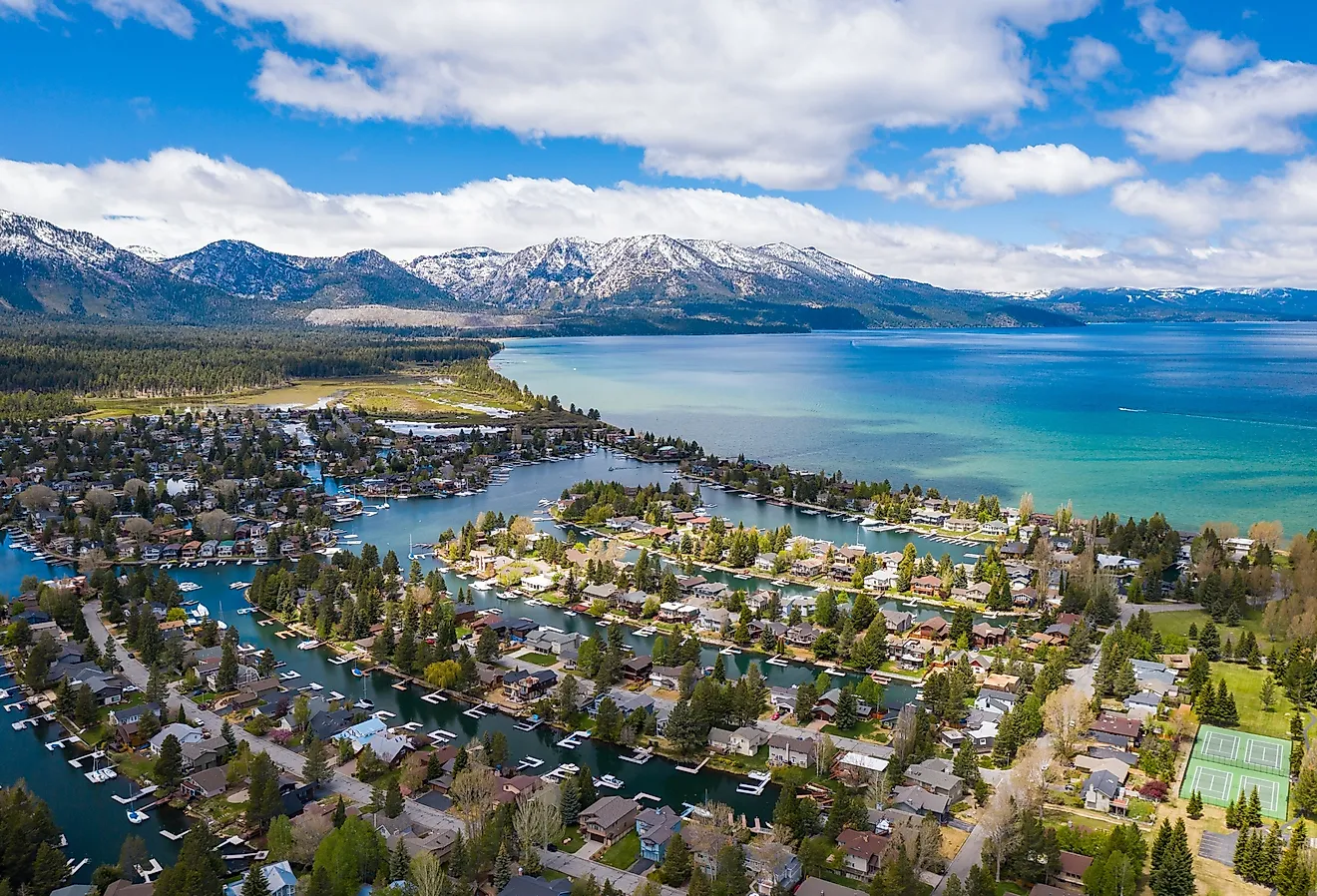
Lake Tahoe has exactly one outlet, and it runs straight through Tahoe City. Stand on Fanny Bridge and look down at the very start of the Truckee River next to the dam that controls how much water leaves the lake. The bridge got its name from the view drivers used to get of everyone leaning over the railing to watch the fish. Follow the shoreline to the Gatekeeper's Museum, where you'll find Native American baskets alongside exhibits on Tahoe's resort and boating history. Keep going along the lakefront to Commons Beach, which has a swimming area and a playground plus outdoor concerts in summer. The Watson Cabin nearby dates to 1908, and the exterior alone earns a stop on a downtown walk, while the inside opens in summer. For a longer outing, the paved Truckee River Trail follows the river downstream.
Graeagle

Some of Graeagle's red houses were sawn in half so they'd fit on railroad flatcars. Crews hauled them here to house workers at a new lumber mill, and workers at that mill later turned out wooden boxes for California's fruit growers. The houses rode the rails as far as Clio, then finished the trip behind horses and in motor vehicles. Look closely at the surviving red buildings along Highway 89 and you can still spot the joints where the halves were put back together. Walk over to the Mill Pond afterward, where the old industrial pond is now full of swimmers and non-motorised boats.
Graeagle is also close to the northern end of the Lakes Basin recreation area. The paved Frazier Falls Trail gets you to a fenced waterfall overlook in about a mile round trip, and how much water you'll see depends on the snowmelt.
Over in Johnsville, the Mohawk Stamp Mill and a miner's house are still standing at Plumas-Eureka State Park. The museum is in the old miners' bunkhouse, with exhibits on how crews pulled the ore out and processed it. Outside, the blacksmith shop and the mine office are among the industrial buildings left under Eureka Peak.
Sierra City

South of Graeagle, the Sierra Buttes tower right over Sierra City, and a staircase climbs their last rock pinnacle to a fire lookout. Getting there means a steep hike from the upper trailhead followed by a set of exposed metal steps. The lookout cabin is locked, and the platform outside is where you'll stand with the lakes spread out below. Save this one for dry weather and for people who are fine with heights.
The lower-key option is the drive out to the Sardine Lakes, where the same peaks rise behind the water. Lower Sardine Lake has fishing and seasonal boat rentals, and Sand Pond next door has a picnic area and swimming.
Back on Highway 49, Main Street in Sierra City has small lodgings and a few places to eat under the buttes. Grab breakfast at the Red Moose Café before you head uphill.
Downieville

Downriver from Sierra City, Downieville is where a punishing 15-mile mountain-bike descent ends among Gold Rush storefronts. Outfitters shuttle experienced riders up to Packer Saddle for the Downieville Downhill, a route with rocky stretches and a whole lot of elevation loss. This is serious mountain terrain, so talk to a local outfitter about which trails match how you ride.
Off the bike, walk the compact streets around the spot where the Downie and North Yuba rivers meet and stop on the bridges for the view upstream. The Downieville Museum is in a stone building from 1852, with objects from the mining camp's early years, and it opens seasonally. You can also rent paddleboards and float tubes at Downieville Outfitters, which has a riverside patio for food and a drink once you're done.
Nevada City

A night out at the Nevada Theatre puts you inside a performance hall that opened in 1865. Films and stage productions still run there on Broad Street, among the brick buildings of the historic downtown. A few doors away, concerts take place at the Miners Foundry, a complex where workers once cast stamp mills and ore cars for the mines. The old blacksmith shop is now the bar and foyer.
By daylight, the Deer Creek Tribute Trail starts on town streets before heading into wooded paths and across a suspension bridge over Deer Creek. Signs along the route recognize the area's Nisenan and Chinese history. Save time for the Nevada County Narrow Gauge Railroad Museum too, where the equipment that once hauled goods between this mining region and the outside world is kept in working order. Docent-led tours take in the railyard and the restoration shop.
Arnold

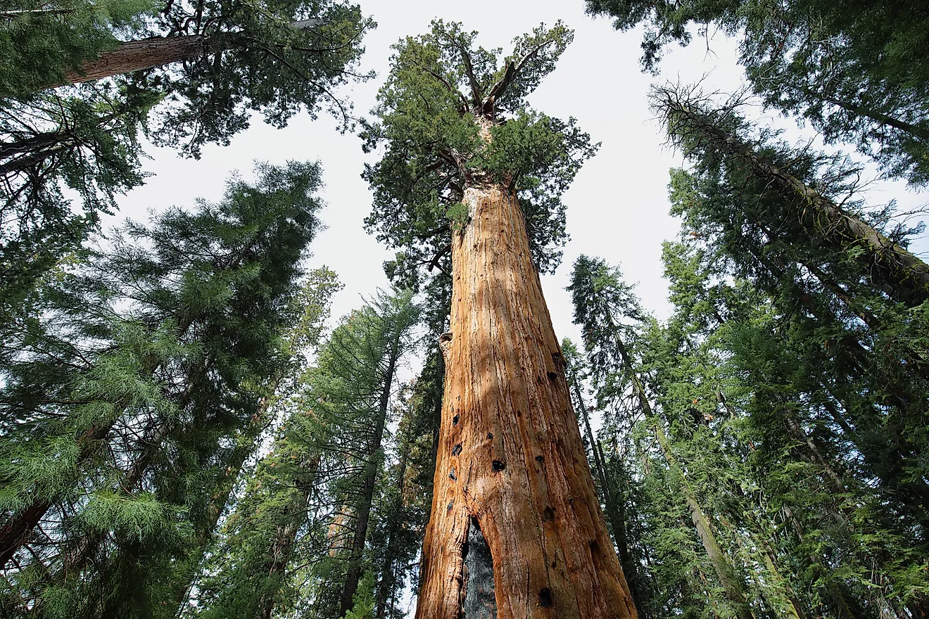
A giant sequoia stump near Arnold was once a dance floor. Loggers felled the Discovery Tree in 1853, and the following Fourth of July people danced on what was left. You'll pass it on the roughly 1.5-mile North Grove loop at Calaveras Big Trees State Park, four miles northeast of town, with living sequoias along the same trail and a second grove deeper inside the park.
The forest story carries on at the Sierra Nevada Logging Museum in neighboring White Pines, where the outdoor machinery is spread over part of a former lumber-company camp above White Pines Lake. The lake has a beach and picnic areas, and the Arnold Rim Trail has an access point right by the museum. Go for a short out-and-back through the trees or plan a longer walk with the trail association's map.
Twain Harte

Twain Harte has had 18 holes of miniature golf crammed onto roughly a third of an acre since 1953. Play a round, then wander over to Eproson Park for the playground and picnic space, and if it's summer you may catch one of the Concerts in the Pines there. Bocce courts connect Eproson Park with Twain Harte Meadows Park next door, and the public nine-hole Twain Harte Golf Course is there for anyone who wants a longer game. The town name mashes together Mark Twain and Bret Harte, two writers tied to California's nineteenth-century stories. Know this before you book a place to stay. Twain Harte Lake is private, so if swimming there is the plan you need to confirm your lodging comes with lake privileges. A town address alone won't get you in.
Shaver Lake

A working steam donkey at the Museum of the Sierra in Shaver Lake shows how crews once dragged heavy timber around. Staff fire it up on scheduled steam-ups, and other exhibits cover the region's hydroelectric history. There's also a replica logging flume showing how lumber rode downhill in a water-filled channel. The museum is near the entrance to Camp Edison.
Southern California Edison built Camp Edison in 1963, and it has campsites and designated day-use areas on the lake's western shore. Walk-in lake access is off the table at the entrance, so plan on a campsite or a day-use spot. You can rent kayaks and fishing boats at Shaver Lake Marina, and pontoon boats are available for bigger groups wanting to poke around the reservoir's coves. In winter, the skiing is at China Peak, farther up Highway 168 above Huntington Lake.
Camp Nelson

At Camp Nelson, the walk into the giant sequoias starts near the cabins beside the Middle Fork of the Tule River. The Camp Nelson Trail climbs toward Quaking Aspen through the McIntyre and Wheel Meadow groves, and it's about 3.3 miles each way if you do the whole thing. The river crossings can get dicey during snowmelt, so check conditions before you commit.
Belknap Campground has seasonal sites on the river near the community. Farther along the mountain roads, the Trail of 100 Giants winds through Long Meadow Grove on a paved route of about 1.3 miles with interpretive signs and a few loop options. The grove is inside Giant Sequoia National Monument on national forest land, and the Western Divide Highway closes when the snow comes.
Whether you come for the Gold Rush history, the cool waters of alpine lakes, or trails beneath towering sequoias, the Sierra Nevada offers plenty of reasons to slow down and explore. Often, the most memorable part of a Sierra Nevada trip is the small town where you decide to stay a little longer.