7 Off-The-Grid Wisconsin Towns To Visit In 2025
Forget the cliché postcard of barn-red silos and mile-long dairy herds. Wisconsin’s wildest stories hide where GPS pings fade into the timber and river fog. The Badger State keeps these outposts deliberately small; most residents can recite the first names of everyone on the volunteer fire roster.
This guide pinpoints seven such enclaves for 2025 travel, chosen for what they protect rather than what they promote. Together they sketch a sideways map of Wisconsin: from Driftless bluffs that never felt a glacier’s weight to pine barrens where wolves outnumber Wi-Fi hotspots. Pack layers, a paper atlas, and the patience to yield to sandhill cranes standing in the road; the journey begins where four-lane blacktop downgrades to frost-heaved county letters.
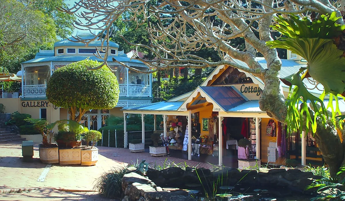
Stockholm
Stockholm occupies less than one square mile along the Mississippi River’s Lake Pepin but compresses an unusual number of cultural and geographic contrasts into its tiny footprint. Founded by Swedish immigrants in the mid-19th century, the village maintains a population under 250 yet supports a disproportionate number of working artists and independent food makers. Its single main street holds no chain businesses, and cell service is sporadic by design. The terrain surrounding the town forms part of the Driftless Area, unglaciated, sharply hilled, and strikingly different from the flattened Midwest most travelers expect. No traffic lights. No billboards. Just a tight cluster of buildings against a lake wide enough to look like the ocean.
The Stockholm Pie and General Store serves savory pies like beef pasty and sweet staples like double lemon, made fresh daily and sold until gone. At Abode Gallery, rotating exhibits include ceramic installations, abstract quilts, and glasswork from Upper Midwest artists. Maiden Rock Winery & Cidery, a few minutes uphill, pours dry hard ciders pressed from local apples. The Palate café hosts monthly dinners with fixed menus and regional chefs. Each business operates with limited hours, making timing and advance planning essential.
La Pointe

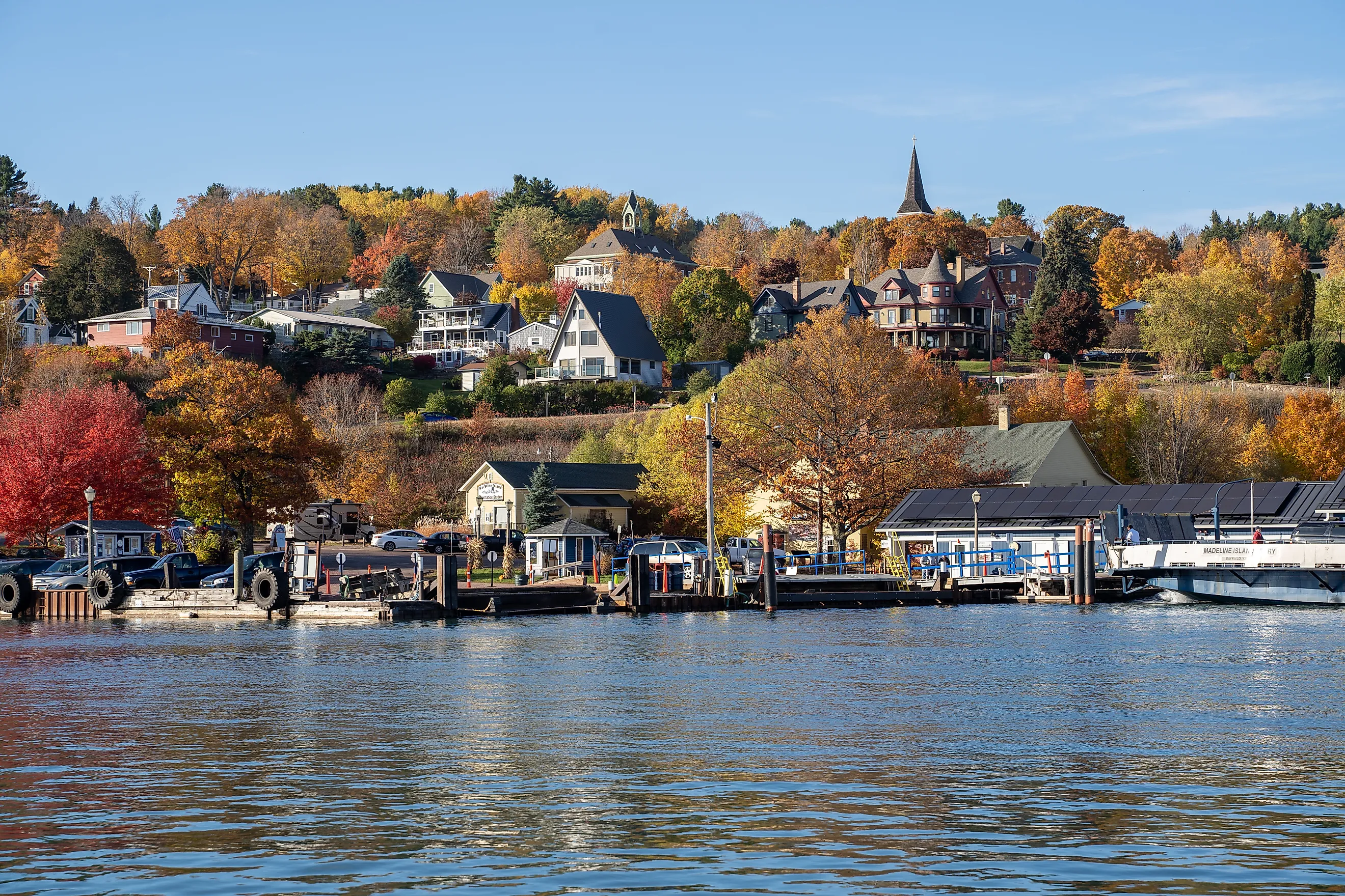
La Pointe sits alone on Madeline Island, the only Apostle Island not part of the federally protected national lakeshore. Because of this exception, it remains open to private development, and as a result, La Pointe functions as a year-round, self-governing town with a permanent population and full-time services. Accessible only by ferry, private boat, or snowmobile in winter, it maintains a practical isolation that limits casual tourism and preserves local control. The town’s ferry dock doubles as its commercial hub, with utilities, groceries, and gas all within walking distance.
Key destinations define La Pointe’s character. Tom’s Burned Down Café is an open-air bar built from salvaged materials and platform lumber, operating seasonally with live music and an informal book swap. Big Bay State Park offers 1.5 miles of uninterrupted beach, a rare sandstone cliff shoreline, and dark-sky conditions suitable for meteor viewing. The Madeline Island Museum, run by the Wisconsin Historical Society, documents 400 years of Ojibwe and French fur trade history through original trade goods, maps, and recorded oral histories. Café Seiche serves regional whitefish with seasonal produce and is one of the only island restaurants with a fixed menu and reservation system.
Gays Mills

Gays Mills lies in the Kickapoo River Valley, a flood-prone corridor that led the town to relocate part of its infrastructure uphill after repeated disasters in the early 2000s. Despite this, the original riverside downtown remains active, home to seasonal events and longstanding businesses. What sets Gays Mills apart is its concentration of family-run apple orchards, more than a dozen within a ten-mile radius. This cluster exists due to the region’s unique microclimate and glacial soils, which favor hardy apple varieties uncommon elsewhere in Wisconsin.
Sunrise Orchards operates from mid-August through December and sells 20+ apple varieties, cider donuts, and honey from on-site hives. The Kickapoo Stump Dodger Campground sits beside the river and hosts canoeists who paddle the meandering, Class I waterway. The Kickapoo Exchange Natural Foods Co-op stocks regional cheeses, bulk grains, and locally roasted Kickapoo Coffee. At the Gays Mills Folk Festival, held the second weekend in May, live performances occur inside the community center and outdoors under a tent near the old mill pond.
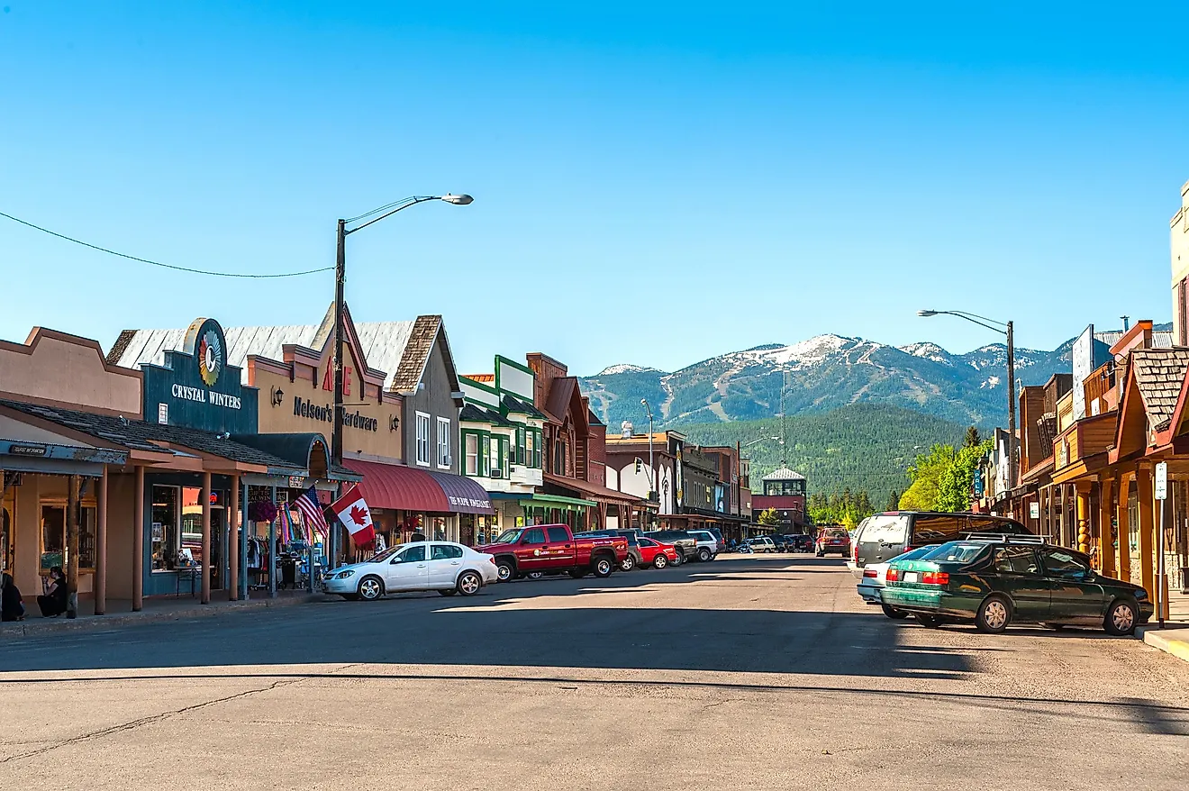
Phillips

Phillips is defined by water. The town is built around the Phillips Chain of Lakes, Elk, Long, Duroy, and Wilson, connected by short channels and bordered by public parks. Despite its central location in Price County, it remains lightly trafficked due to its distance from major highways. In 1894, a fire destroyed most of the original settlement. The community rebuilt around lumber, then transitioned to tourism and silent sports without significantly expanding its footprint. Its compact size and surrounding forest create a high wildlife density visible from the downtown lakefront.
Visitors typically start at Elk Lake Park, where a paved path loops the shoreline and connects to a fishing pier and public beach. The Wisconsin Concrete Park, located on Highway 13, contains over 200 concrete-and-glass sculptures made by Fred Smith, a retired lumberjack and self-taught artist. Harbor View Pub & Eatery, set directly on Long Lake, serves walleye sandwiches and fried cheese curds year-round. The Phillips Railroad Museum, inside the former Soo Line depot, preserves records and artifacts related to northern Wisconsin’s timber transport industry. In late September, the Flambeau River draws anglers for the annual sturgeon run.
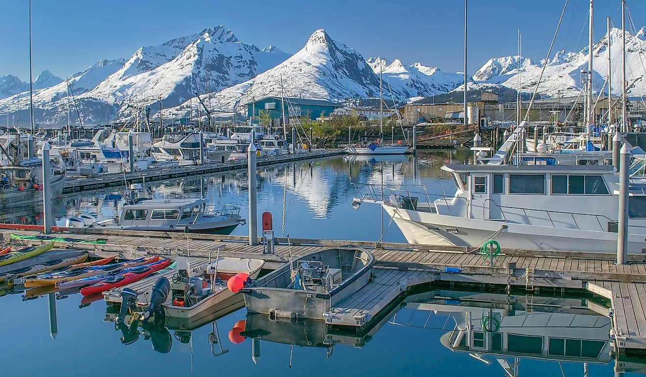
Bayfield

Bayfield is the smallest incorporated city in Wisconsin and the only one that serves as the gateway to a national lakeshore. Located on the edge of Lake Superior, it provides the primary access point to the Apostle Islands and houses the mainland headquarters for the National Park Service. The town was once a commercial fishing port and brownstone quarrying hub. Today it supports a permanent population under 600 and maintains deep seasonal ties to tribal, agricultural, and maritime networks. The local Ojibwe community continues to harvest wild rice, berries, and fish in the region using treaty rights.
Key destinations are within walking distance of the town dock. The Bayfield Maritime Museum displays tools and oral histories from Great Lakes sailors and commercial fishers. Hauser’s Superior View Farm, just up the hillside, cultivates heirloom apples and peonies and operates a small shop in a restored barn. The ferry to Madeline Island departs hourly in summer and takes roughly 20 minutes one-way. Lake Superior’s surface temperature rarely exceeds 60°F, and fog often limits visibility after 7 p.m.
Florence

Florence lies in a county with no incorporated communities, an administrative structure unique in Wisconsin. The town serves as the county seat and only urban cluster, located just a few miles from the Michigan border. Historically tied to iron mining, it now centers itself around forest management and outdoor recreation. It is one of the few towns in the state where two state-designated Wild Rivers, the Pine and Popple, remain entirely undeveloped, and public access to both is protected under the Wisconsin Wild Rivers Act.
The Florence Natural Resource and Wild Rivers Interpretive Center functions as a trailhead and indoor exhibit hall. It connects to the Bush Lake Flats and the 2.5-mile Lauterman National Recreation Trail, which loops through jack pine and black spruce terrain. Nearby, Breakwater Falls and Meyers Falls are both accessible by gravel road and unmarked trail. Saloon No. 2, a historic tavern named after the original iron mine bar, offers pan-fried perch on Fridays and opens early during deer season. Vagabond Park on Fisher Lake maintains a concrete boat launch and public swimming access.
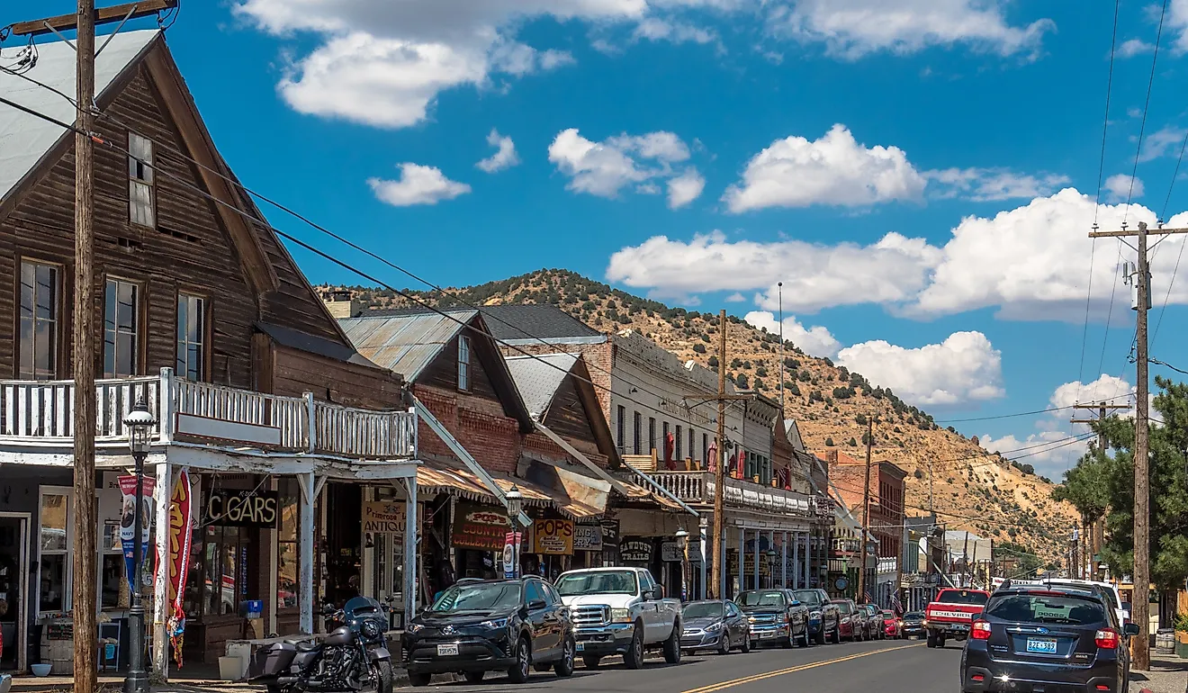
Wabeno

Wabeno is built around the ruins and remains of Wisconsin’s old-growth logging industry. Located on Highway 32, it was once a stop on the Chicago and North Western Railway and retains physical artifacts from that era, including a working Phoenix log hauler, the only operational steam-powered hauler of its kind still on public display. The town is surrounded by the Chequamegon-Nicolet National Forest, and most roads outside the core are unpaved or single-lane forest routes used by hunters, foragers, and utility crews. The name "Wabeno" derives from an Ojibwe word for "forest spirit."
The Wabeno Logging Museum contains tools, photographs, and timber maps from the late 1800s and operates seasonally with volunteer docents. A 22-foot statue known as Larry the Logroller stands across from the museum and marks the trailhead to the Nicolet State Trail, a multi-use route that stretches over 80 miles. Snowmobile traffic begins in December and often exceeds local vehicle counts through February. Trail conditions vary daily and are updated by radio.
Leaving the interstate behind in Wisconsin rewards travelers with communities that refuse to homogenize. Each town outlined above safeguards a distinct economic core, orchards, fisheries, wild-river access, historic logging relics, and invites visitors to participate rather than spectate. Limited cell coverage, seasonal ferries, and weather-dependent roads enforce a slower cadence that highlights local stewardship of land and water. Plan deliberately, respect working landscapes, and gain lasting authenticity and insight into rural resilience.