6 Quirkiest Ontario Towns You Didn't Know Existed
While most visitors blitz between Toronto’s skyline and Niagara’s roar, six pocket-size communities have doubled down on eccentricity. They’re scattered from Manitoulin’s misty shores to the edge of James Bay, linked only by Highway 11, old rail beds, and the stubborn conviction that roadside oddities still matter.
Ready to trade timed-entry tickets for UFO selfie stations and whitefish sold straight off the boat? Follow the map north, west, and occasionally sideways; Ontario’s 6 quirkiest towns don’t just ask you to stop; they demand you recalibrate what "small-town charm" means.
Moonbeam

A flying saucer marks the entrance to Moonbeam, a Northern Ontario town that treats its UFO sightings as fact, not folklore. Located along Highway 11 near Kapuskasing, Moonbeam adopted its name after early settlers claimed to see beams of light falling from the sky—later linked to unexplained aerial phenomena. In the 1990s, the town installed a large silver spacecraft beside a green alien mascot named “Cosmo,” cementing its identity. Local signage, public art, and town branding consistently reference space themes, making Moonbeam one of Canada’s only communities to lean entirely into extraterrestrial culture.
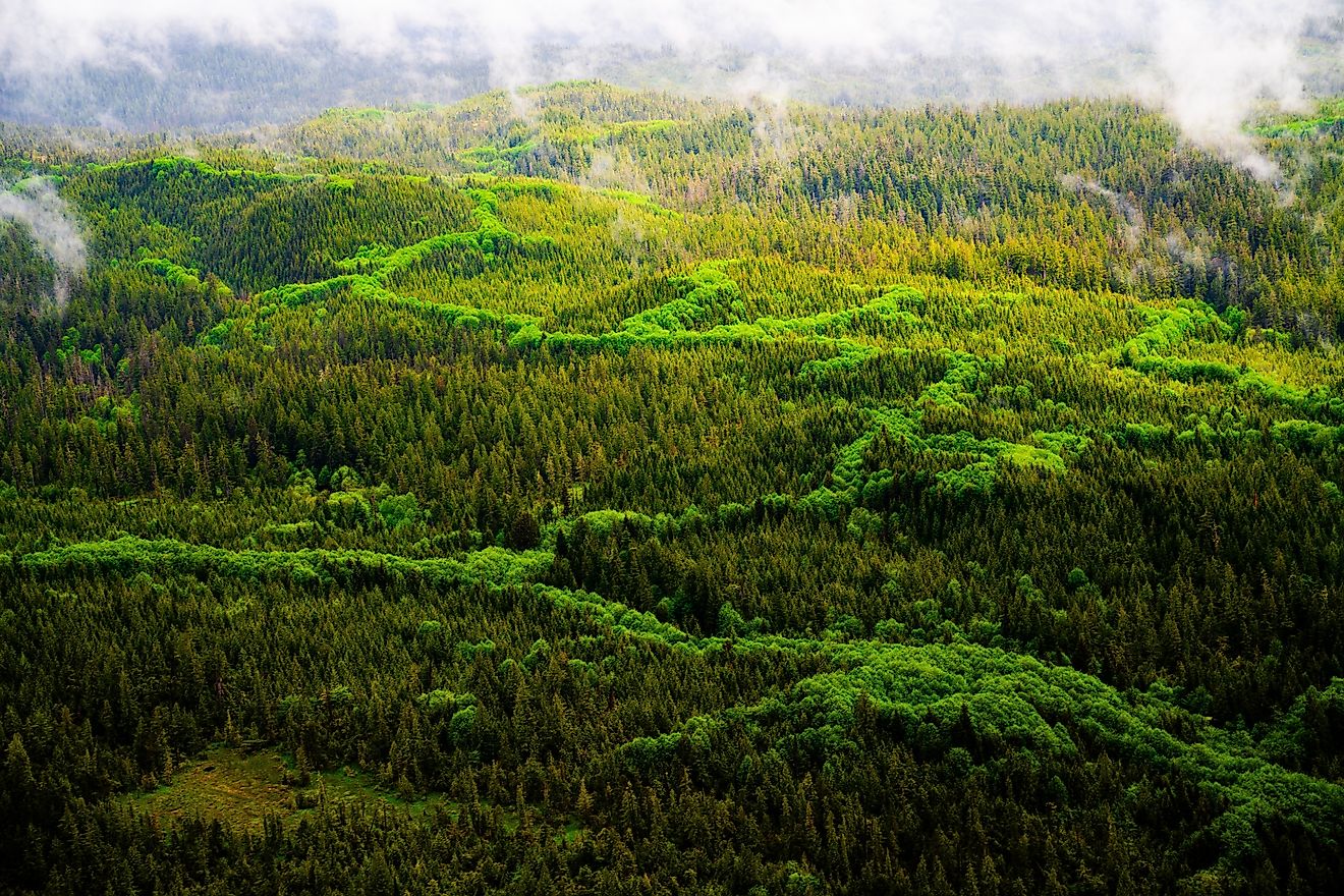
The Moonbeam Nature Trail begins behind the UFO Park and extends 3.5 km through boreal forest. Visitors can tour the Centre Culturel Moonbeam, which hosts rotating exhibitions and bilingual events. Ten minutes west, Remi Lake and René Brunelle Provincial Park offer swimming, kayaking, and access to the region’s legacy of logging and francophone settlement.
Wawa

A 28-foot steel Canada Goose towers over Wawa’s entrance, installed in 1960 to commemorate the completion of the last link of the Trans-Canada Highway. The name “Wawa” comes from the Ojibwe word for “wild goose,” and the town has made that symbol central to its identity. The original goose was replaced in 2017 with a weather-resistant replica, now one of the most photographed roadside monuments in Canada. Wawa sits at the intersection of Lake Superior, mining history, and Indigenous heritage, once serving as a hub for fur trading and later gold extraction.
The Wawa Goose Bar & Grill on Mission Road serves bannock tacos and Lake Superior whitefish. The Agawa Rock Pictographs, located in Lake Superior Provincial Park south of town, feature centuries-old red ochre images on granite cliffs. In town, the Naturally Superior Adventures offers guided kayak tours departing from the mouth of the Michipicoten River. The Rock Island Lodge, located on a rocky point outside town, combines overnight stays with workshops on northern ecology and traditional craftwork.
Cochrane

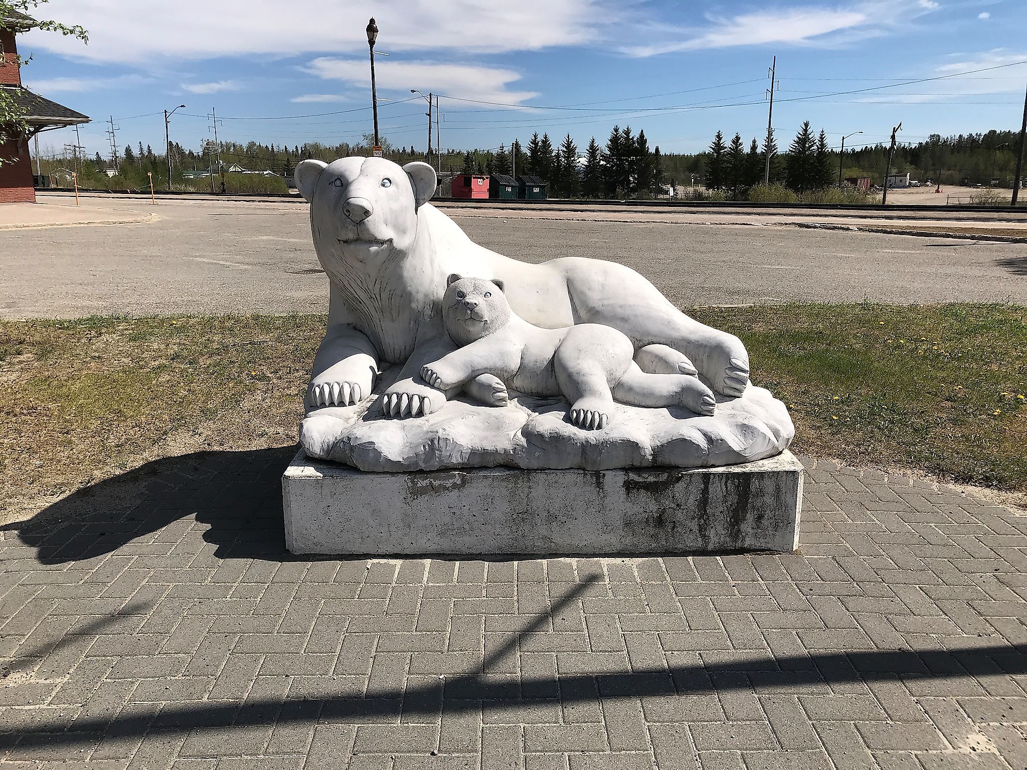
Cochrane is the only town in the world with a dedicated Polar Bear Habitat, 24 acres of subarctic terrain, chilled pools, and indoor dens built specifically for orphaned or displaced bears. The facility is open year-round and currently houses bears like Ganuk and Inukshuk, who are part of the centre’s long-term care and conservation program. A massive polar bear statue named Chimo greets drivers along Highway 11. Cochrane’s development was tied to the Temiskaming and Northern Ontario Railway, and it remains the departure point for the seasonal Polar Bear Express, a remote passenger train running to Moosonee near James Bay.
The Tim Horton Event Centre includes an arena, aquatic centre, and panoramic views of Lake Commando, which hosts paddleboat rentals and the annual Summerfest fireworks. The Cochrane Railway and Pioneer Museum maintains rolling stock, telegraph equipment, and tools from early 20th-century surveyors. Golden Flower Restaurant in Cochrane, Ontario, is a longstanding local favorite known for its generous portions of classic Chinese dishes like General Tao chicken, Singapore noodles, and House Special Won Ton Soup, all served in a casual, no-frills setting. Local artists exhibit carvings and beadwork at the Cochrane Public Library’s rotating showcase. The nearby Greenwater Provincial Park offers northern canoe routes and black spruce trails.
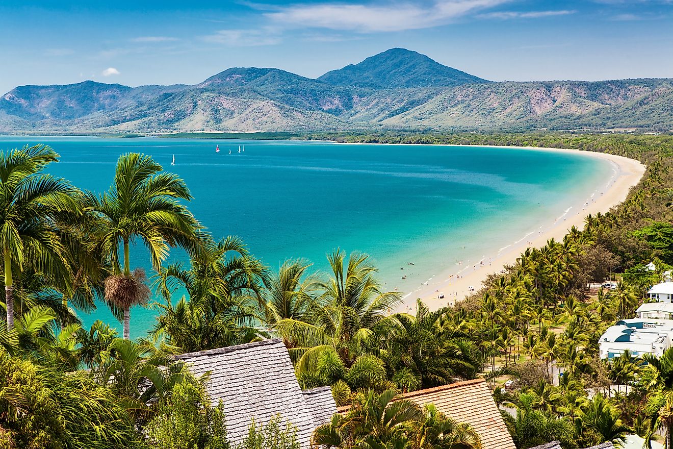
Killarney
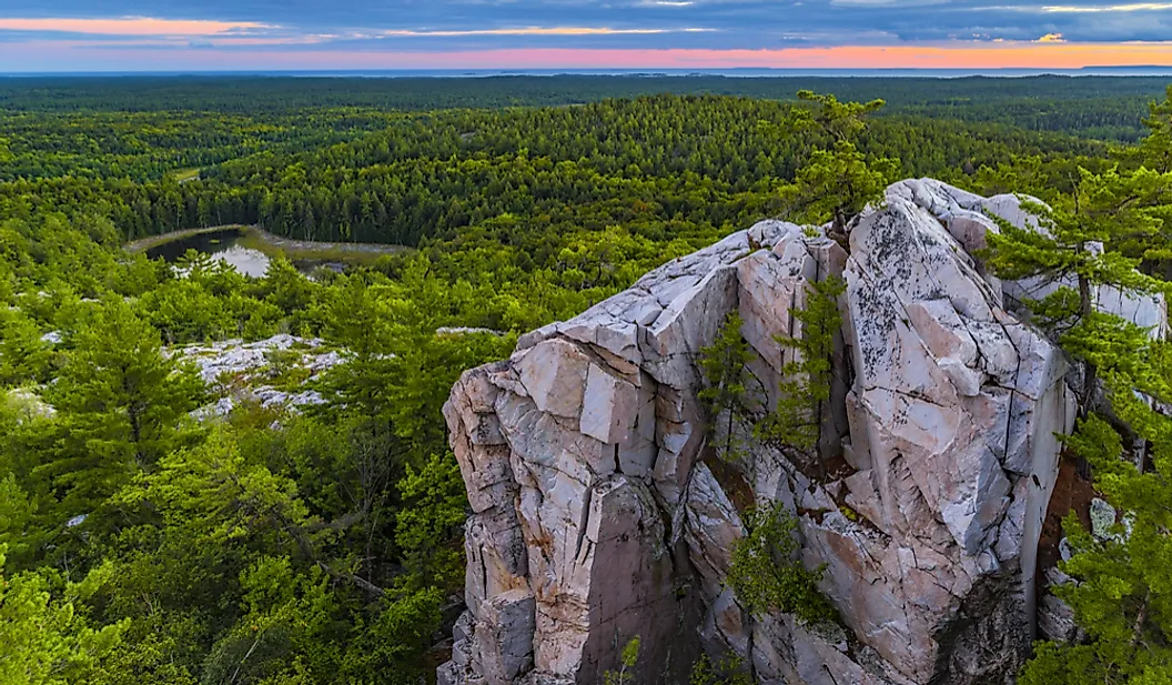
Killarney sits at the intersection of white quartzite cliffs, pink granite shoreline, and one of Canada’s oldest provincial parks. Originally named Shebahonaning, the town was renamed in the 1800s after Irish settlers arrived. Killarney Provincial Park, championed by Group of Seven painters, protects over 600 square kilometres of lakes and ridges. The town’s location on Georgian Bay made it a key outpost for fur traders and later commercial fishing. Today, most buildings sit within a few blocks between the marina and the La Cloche Mountains, creating a compressed space where natural and human history collide.
Herbert Fisheries operates a red food truck at the harbour, serving fresh whitefish pulled directly from the bay. The Killarney Mountain Lodge hosts carving demonstrations and navigation workshops. The East Lighthouse Trail follows the shoreline to a still-operational 1866 lighthouse. Canoe and kayak rentals are available at Killarney Outfitters. OSA Lake and the Crack Trail are accessible by trailhead or paddle route directly from the town dock.
Wiarton

Wiarton is internationally recognized for Wiarton Willie, the world's only albino prognosticating groundhog. Since 1956, the town has hosted an annual Groundhog Day festival on February 2nd, where Willie predicts the arrival of spring. The tradition began when local resident Mac McKenzie initiated a Groundhog Day gathering, which evolved into a celebrated event drawing thousands of visitors. The festival features various activities, and a statue of Willie, sculpted from dolomite limestone, stands in Bluewater Park as a tribute to this unique tradition.
Bluewater Park offers recreational facilities and scenic views of Colpoy's Bay. The Spirit Rock Conservation Area features the ruins of the Corran mansion and a spiral staircase leading to panoramic vistas. For dining, establishments like the Green Door Café and Dockside Willie's provide local cuisine. The town's location along the Niagara Escarpment also offers access to the Bruce Trail, attracting hikers and nature lovers.
Kagawong

Kagawong, located on Manitoulin Island, derives its name from the Ojibwe term meaning “where the mists rise from the falling waters,” referencing the nearby Bridal Veil Falls. This 11-meter waterfall, fed by Lake Kagawong, cascades over a limestone cliff into a pool below. Visitors can access the falls via a steel staircase or a riverside trail, with opportunities to swim or walk behind the falls. The energy from the falls once powered a pulp mill, now repurposed as the Old Mill Heritage Centre, which houses historical exhibits, including displays on local industries and the Empress of Ireland shipwreck.
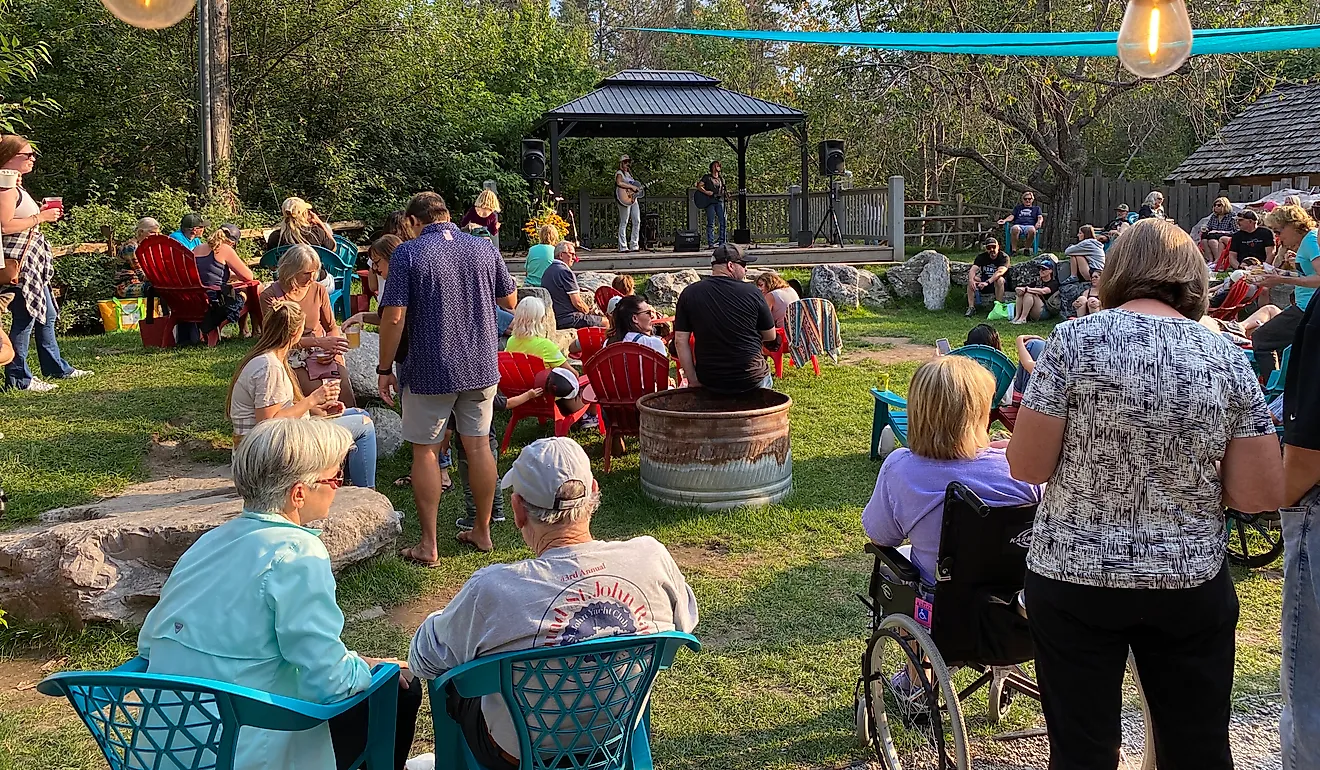
The village features several attractions: St. John the Evangelist Anglican Church, known as the "Sailor’s Church," incorporates nautical themes in its design. Art enthusiasts can visit Edwards Studios and Art Gallery, located above the Old Mill, showcasing regional artwork. For local confections, Manitoulin Chocolate Works offers handmade chocolates, while Buttercup Ice Creamery provides ice cream and baked goods. The Billings Connections Trail presents a series of heritage plaques and sculptures throughout the area, highlighting the community's history and culture. Additionally, the Kagawong Marina offers scenic views of Mudge Bay and access to boating activities.
Ontario’s oddball hamlets prove novelty and heritage can co-exist. Moonbeam’s cosmic branding, Wawa’s iron goose, Cochrane’s polar-bear refuge, Killarney’s quartzite skyline, Wiarton’s prophetic groundhog, and Kagawong’s veil-draped waterfall each transform remote geography into destination. Collectively they map a road trip that swaps predictable icons for UFO parks, lakeside fish shacks, and behind-the-falls hikes. Leave GPS anxiety behind—follow curiosity, and the province’s tallest bird or brightest meteor will guide you homeward.