Cataract Canyon
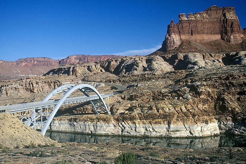
Cataract Canyon is a 74km long canyon formed by the mighty Colorado River in the southern part of the US State of Utah. The Cataract Canyon begins at the meeting point of Green and Colorado Rivers just to the south of the city of Moab, in the heart of the Canyonlands National Park. The lower half of the Cataract Canyon that is situated in the Glen Canyon National Recreation Area lies submerged beneath Lake Powell when the water of the artificial reservoir reaches a maximum elevation of 1,100m.
Geology Of The Cataract Canyon
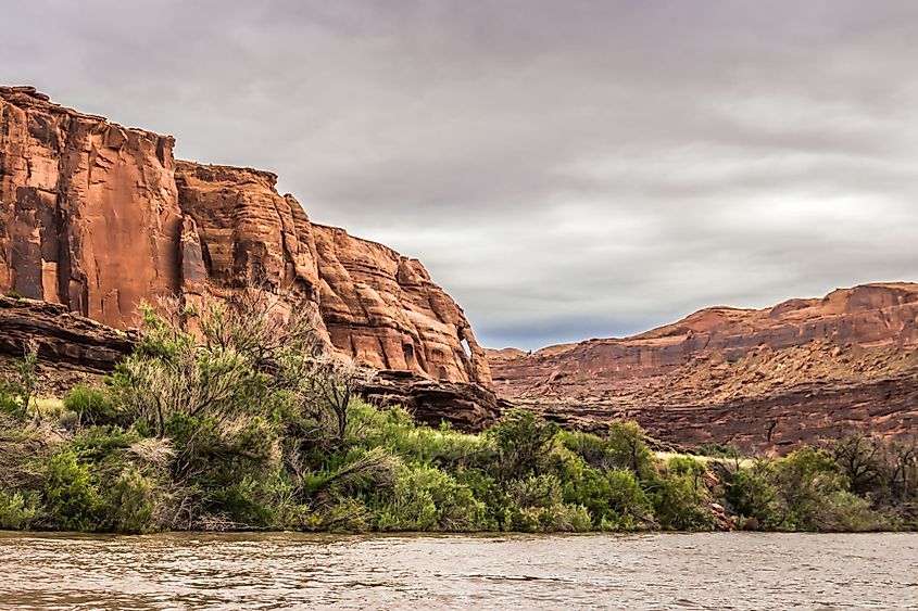
It is believed that about 70 to 80 million years ago, the Laramide orogeny led to the upliftment of the Rocky Mountains as well as the entire Canyonlands region. Geological studies have revealed about 12 rock formations in the Canyonlands National Park that range from the Pennsylvanian to the Cretaceous period. It is to be noted that all the rock formations in the National Park are composed of sedimentary rocks and they have all been subjected to weathering, faulting, and erosion. In due course, as the Colorado River cut through the horizontally deposited rock layers, it exposed the Paradox formation, which is considered to be the oldest rock layer in the Cataract Canyon. Deposited approximately 320 million years ago, the Paradox Formation consists of a 914.4m thick deposit of salt and gypsum. After all the water evaporated from the large seawater basin that once covered this area, the Paradox salts were only left behind. However, these Paradox salt deposits proved to be an unstable platform for the numerous rocks that were placed above them. In due course, the increased precipitation during the successive Ice Ages of the Pleistocene epoch fastened the rate of canyon formation. This widening and deepening of the canyons were more rapid in the gorges of the Colorado and Green Rivers, which were fed by the glacier meltwaters from the Rocky Mountains.
Recreational Facilities In The Cataract Canyon
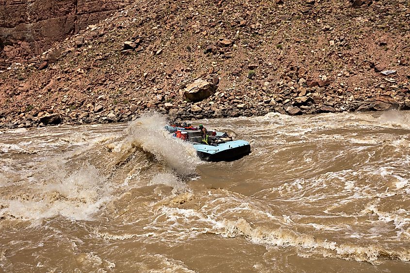
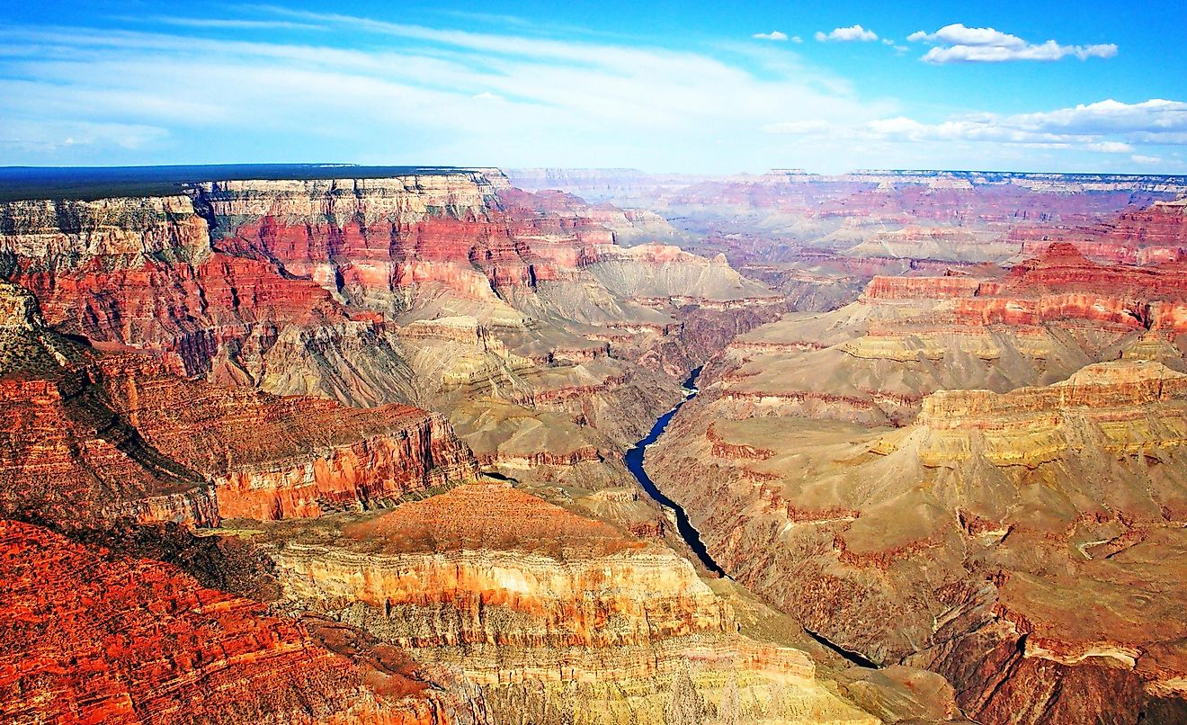
The Cataract Canyon currently serves as one of the most popular whitewater rafting destinations. There are about 34 rapids in the 22.5km stretch of the Cataract Canyon ranging in difficulty level up to Class VI in the International Scale of River Difficulty. The section of the Colorado River that flows through the Cataract Canyon is located far away from the dam and is therefore subjected to extreme water level fluctuations. The rapids reach extreme levels and flow in quick succession mostly during the years of higher precipitation and the spring months, rivaling those of the Grand Canyon. It has been estimated that at flows ranging above 850 cubic meters per second to more than 1,400 cubic meters per second, the rapids of the Cataract Canyon become extremely difficult to navigate. The majority of the rapids in the Cataract Canyon are referred to as Rapid 1, Rapid 2, etc, but in addition to these, there are some notorious rapids in the Cataract Canyon which include the Big Drop series. At high flows, the Big Drop 1, 2, and 3 rapids run together as a single large rapid and are considered as one of the toughest and largest whitewater rapid in North America.
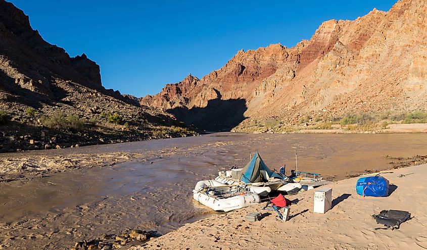
The river trips that run in the Cataract Canyon usually begin at two places: Mineral Bottom on the Green River and Potash on the Colorado River. Most people begin their trip at Potash and then spend the next 4 days floating leisurely down the flat water of the Colorado River. After passing the confluence of the Green and Colorado Rivers and the Spanish Bottom, the rafters then leave the flatwater behind and enter the Cataract Canyon. After rafting through the rapids of the Cataract Canyon, the rafters reach the Lake Powell reservoir and from there to the exit at the Dirty Devil River or at the flooded ghost town of Hite.
Brief History Of The Cataract Canyon
It is believed that the Canyonlands area was inhabited by the indigenous Fremont people, who lived in the region much before the arrival of the Europeans. Archaeologists have discovered several Rock arts and ruins dating back more than 800 years in the Cataract Canyon. The European settlers took some time to reach the Canyonlands area due to its remote location. In 1836, the American fur trapper Denis Julien became the first European to reach the Cataract Canyon. In 1869, the Powell Expedition led by the US Army soldier and American geologist John Wesley Powell was the first organized expedition that successfully traversed the canyon’s entire length. The members of the expedition were terrified of the rapids and due to the difficulty of the rapids, the canyon was named “Cataract Canyon” by John Powell. After successfully passing all the rapids of the Cataract Canyon, Powell and his team continued their expedition through the Glen Canyon that at present has been submerged by Lake Powell, and reached the Grand Canyon, finally ending their expedition close to the mouth of the Virgin River. The successful Powell Expedition was followed by several river runners including Nathanial Galloway, Haldane Holmstrom, the Kolb brothers, and Norman Nevills all of whom made many trips through the Cataract Canyon. With the discovery of newer types of equipment, several commercial outfitters started to run river trips in the Cataract and Grand Canyons.
