Where is Mariveles, The Philippines?
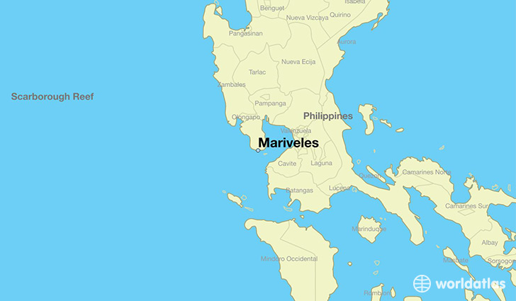
Mariveles is a city found in Central Luzon, The Philippines. It is located 14.43 latitude and 120.49 longitude and it is situated at elevation 9 meters above sea level.
Mariveles has a population of 84,567 making it the 18th biggest city in Central Luzon. It operates on the JST time zone, which means that it follows the same time zone as San Jose del Monte.
Quick facts
| Country | The Philippines |
| State | Central Luzon |
| Population | 84,567 |
| Elevation | 9 m over sea level |
| Time Zone | JST |
| Longitude | 120.485690 |
| Latitude | 14.433850 |
This page was last updated on October 15, 2015.