Where is Mandya, India?
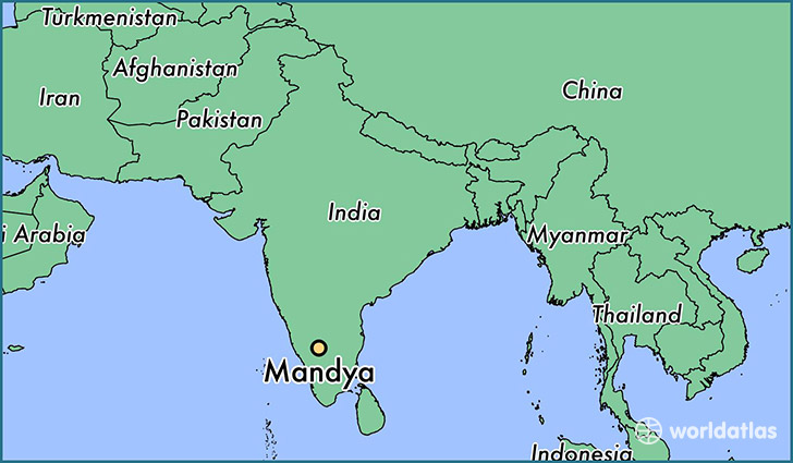
Mandya is a city found in Karnataka, India. It is located 12.52 latitude and 76.90 longitude and it is situated at elevation 680 meters above sea level.
Mandya has a population of 134,845 making it the 18th biggest city in Karnataka. It operates on the BURT time zone, which means that it follows the same time zone as Bangalore.
Quick facts
| Country | India |
| Special region | Karnataka |
| Population | 134,845 |
| Elevation | 680 m over sea level |
| Time Zone | BURT |
| Longitude | 76.895270 |
| Latitude | 12.521450 |