Where is Kfar Saba, Israel?
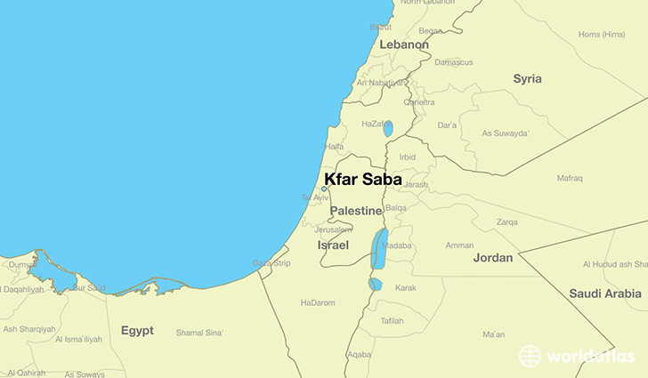
Kfar Saba is a city found in Central District, Israel. It is located 32.18 latitude and 34.91 longitude and it is situated at elevation 57 meters above sea level.
Kfar Saba has a population of 80,773 making it the 4th biggest city in Central District. It operates on the IDDT time zone, which means that it follows the same time zone as Rishon LeZiyyon.
Quick facts
| Country | Israel |
| State | Central District |
| Population | 80,773 |
| Elevation | 57 m over sea level |
| Time Zone | IDDT |
| Longitude | 34.906940 |
| Latitude | 32.175000 |
This page was last updated on October 15, 2015.