Which Countries Border Israel?
Israel is a small country with an area of between 8,019–8,522 square miles. This is similar in size to the state of New Jersey, which itself is one of the smallest states in the US. The current borders demarcating the territory of the state of Israel are often controversial and debated. Some of the territories it claims are recognized by the international community while some are not and are considered occupied land.
Egypt
Israel shares a border that is around 230 km in length with Egypt. It runs through the Sinai Desert. Notably, a fence runs along the border between the two countries. The controversial border fence measures around 8 meters in height and is designed to prevent illegal immigration.
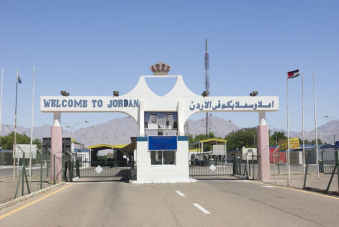
Jordan
Jordan and Israel signed a peace treaty in 1994. Today, there are three locations where crossing the border between the two countries is possible: the Allenby/King Hussein Bridge, the Beit She’an/Sheikh Hussein Bridge, and the Wadi Araba/Yitzhak Rabin border.
West Bank
The border between Israel and the landlocked territory of the West Bank is very complicated. The West Bank covers a total of 5,655 square kilometres and borders Jordan to the east, and Israel to the south, north, and west.
Golan Heights / Syria
Golan Heights is a territory roughly in between Irsael and Syria. Israel has claimed administration over Golan Heights since the Six-Day War of 1967.
Gaza Strip
Israel borders the Palestinian territory of the Gaza Strip for 51 km.
Lebanon
Israel borders Lebanon in its north for around 78 km. Civilian transport between this border is not permitted.


