The Missouri River
The Missouri River is the longest river in North America. Its source is the Rocky Mountains from where it flows east and south for 2,341 miles before draining in the Mississippi at St. Louis, Missouri. It drains through a sparsely populated and semi-arid watershed that includes a part of the US and two Canadian provinces. Although the Missouri is a tributary of the Mississippi, it is longer above the confluence and together they form the fourth largest rivers system in the world.

Contents:
Course
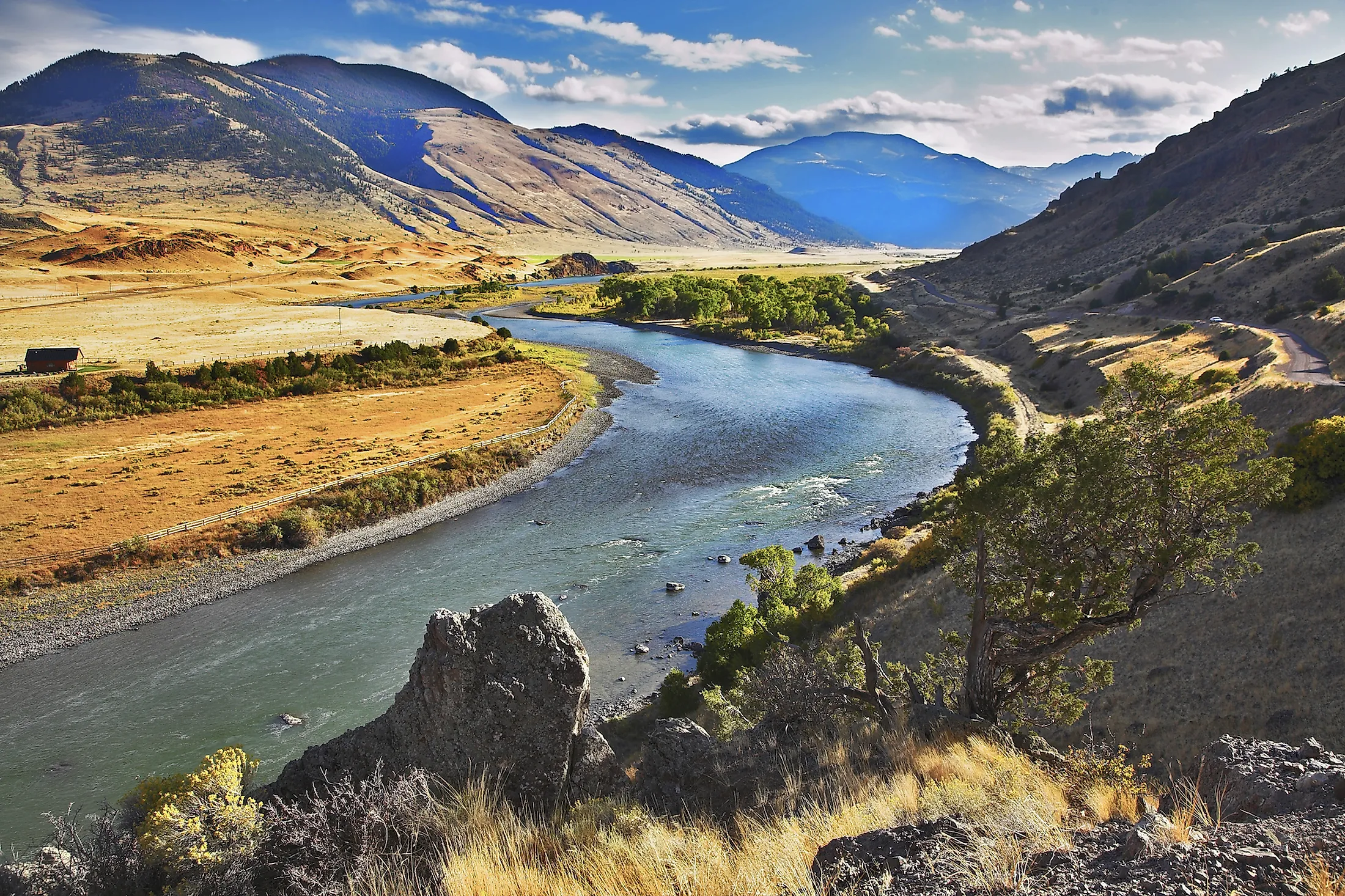
The headwaters of the Missouri River are formed by the confluence of the Jefferson, Gallatin, and Madison Rivers in the Rocky Mountains, southwestern Montana. Missouri is fed by 95 significant tributaries and hundreds of smaller streams with most of the large ones coming in as it draws closer to its mouth. The watershed comprises of the drainage basin stretching over 529,350 square miles from the Rocky Mountains in the west to the Mississippi river valley in the east and from the southern extreme of western Canada to the border of the Arkansas River watershed.

Elevations within the river’s basin range from 14,000 feet in the Colorado Rockies to 400 feet to its mouth at the Mississippi River at 400 feet above sea level. Its flow ranges between 4,200 cubic feet per second to a maximum of 900,000 cubic feet per second.
Climate
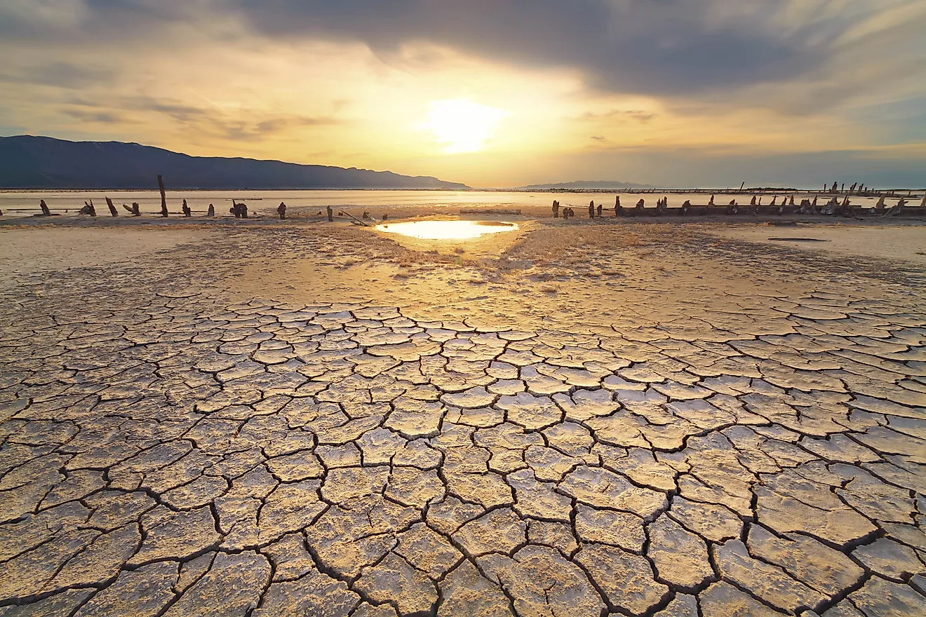
River Missouri’s drainage basin experiences a continental climate characterized by harsh cold winters and warm wet summers. The rainfall averages 10 inches each year with the western part of the Rockies and the southeastern regions receiving highs of 40 inches. Most of the rainfall occurs during summer in the middle and lower basin while the upper part, it receives string summer thunderstorms.
During winter, the western and northern part of the basin have temperatures averaging -40 °F with extremes of -60 °F. In summer temperatures rise to 100 °F except in the areas of Wyoming, Montana, and Colorado where they reach highs of 115 °F.
History

As identifies on some early French maps, the Missouri river was named Peki-tan-oui and later renamed Oumessourit (Big Muddy) because of the amounts of solid matter it carries. Its watershed is believed o have been inhabited during the Pleistocene period. Towards the end of the glacial period, the river acted as a main migration channel used by native communities of America and Eurasia. Most of the migratory groups settled in the Ohio valley and the lower Mississippi valley. Other groups including the Mound builders settled in the Missouri watershed and became ancestors to the large population oof the people of the Great Plains.
The mouth of the Missouri was discovered in 1673 by French explorers who canoed down the Mississippi River. In the early years of the 18th century, French fur traders began to navigate the river upstream leading to the first exploration of the river from its source to the mouth in 1804/05 by the Lewis and Clark Expedition.
Plant And Animals

The Missouri River channel supports a mixture of habitats including open grasslands, river forests, prairies, and native wildflowers. Biodiversity increases as the river progresses downstream from the cool subalpine headwaters in Montana to the temperate humid climate of Missouri. In the floodplains, the newly deposited silt supports growth of cottonwoods, short-lived Kentucky bluegrass, seedling willow, and sedges. Major tree species found in the cottonwood forests include the sumac, wild grapes, dogwood, and poison ivy. The bluffs that border the floodplains are hardwood forests comprising of burr oaks, mulberry, ash, oaks, and walnut trees. The average height of these trees increases as they move further away from the riverbanks since the land adjacent to the river banks is highly vulnerable to erosion.

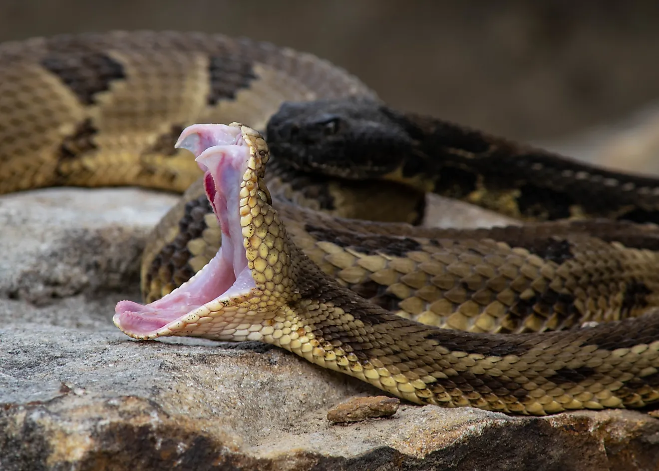
The Missouri River supports the second largest wildlife refugee Centre in the lower 48 states of the continent. Charles Russel National Wildlife Refuge is remote and features canyons, hills, buttes, river bottoms. These habitats are home to over different mammal species including prairie dogs, the bighorn sheep, harbor elk, antelopes, coyote, and deer. There are over 200 bird species including the migratory waterfowl, Hungarian partridge, grouse, pheasant, and eagles. Due to the large silt sediments in the Missouri, it does not support aquatic life.
Development
From the late 19th century into the 20th century, a number of dams have been constructed along the course of the Missouri transforming about 35% of the river into a chain of reservoirs. These developments were stimulated by the increased demand for rural electrification in the northwestern parts of the basin. The floods and droughts that had been plaguing the rapidly growing agricultural and urban areas in the lower parts of the river contributed to water reservation and flood control. Flood damages on the Mississippi-Missouri river system led the Congress to pass the Flood Control Act in 1944 hence opening the massive developments

In the early years of the 20th century, the Missouri river has been engineers for water transport with 32% of the river flowing through artificially constructed channels. In 1942 The USAECE authorized maintaining the depth of the Missouri from the Port of Kansas to its mouth to six feet. Further, the river course from Kansas City to Sioux city has been expanded to 200 feet. These expansion activities have led to the reduction of the river’s length from 2540 miles in the late 19th century to 2341 miles.
Threats
Human activities along the course of the river dating to the early 19th century have led to pollution of the Missouri river hence degrading its water quality. Most of the river’s floodplain habitats has been lost to farmlands. Fertilizer runoffs has led to the increase in nitrogen levels especially in the lower parts of Iowa and Missouri. This level of pollution affects the upper part of the Mississippi, Ohio, and Illinois Rivers. It has also contributed to the low oxygen levels in the vast Gulf of Mexico dead zone. Channeling the lower part of Missouri has made the river deeper, narrower, and less accessible to riparian flora and Fauna.