What Physical Features Help To Define Political Boundaries?
- Political boundaries divide different countries, states, provinces, and even cities.
- Political boundaries are defined not only by physical features of the environment but also by treaties signed after a major global conflict, like World War II, that reshaped the size of countries involved.
- The Rio Grande river is a physical and political border between Mexico and the United States of America.
Political boundaries are borders that separate different countries and regions from another. In a lot of cases, these boundaries are defined by the structure of the environment. This means that the physical features of the land are the ones that naturally create borders. Huge mountains and rivers are an obstacle that you can not cross that easily, which makes them a perfect buffer to create borders between states.
Political Boundary: An Imaginary Line
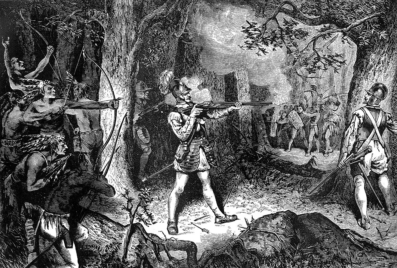
One thing to understand is that political types of boundaries are of an imaginary character. They do not always follow the shape of a specific area, and they are created and changed throughout the course of history. History itself is full of battles and wars that always include some sort of reshaping, meaning the political borders of one country can get bigger or smaller, depending on the outcome of a conflict that existed with a neighboring country.
Now, even though after a war, the winner always takes the spoils, there are some physical boundaries that are simply too vast to overcome. The distance between the people who lost the war, and the people who hold the right to rewrite where the borders are, are too big, and there is no logistical sense to rearrange the borders, e.g., throughout the Pacific Ocean. This does not mean that borders do not exist in the sea. Quite the contrary, each state that has an entrance out to the seas has its own political boundary that stretches for hundreds or thousands of miles away from the shore.
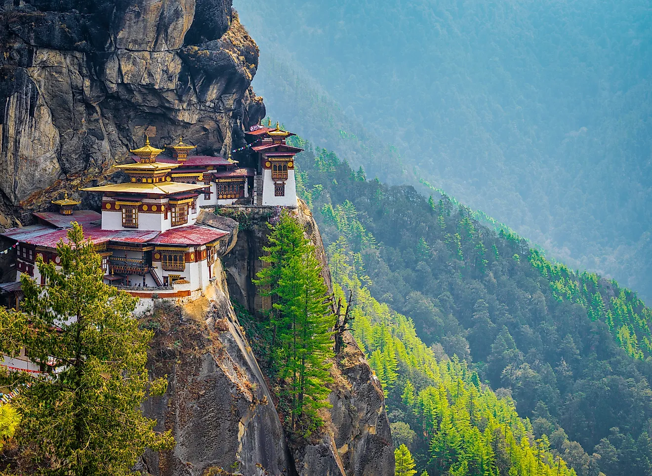
Mountains And Rivers
For example, take a look at the border between the United States of America and Mexico. It is largely defined by the river we all know as the Rio Grande. As the name suggests, it is an enormous river, and it served perfectly to divide the territories between the aforementioned states. Also, big rivers can divide states within one country, meaning one coherent political region. The Mississippi River is also a very long and winding river, and it divides many US states from one another: Arkansas and Tennessee, or Iowa and Illinois - their political (state) boundaries are very much defined by the way the Mississippi River flows.
Take a look at the map of the world, and see what the biggest physical boundary between France and Spain, or between France and Italy is. They are all separated by massive mountain chains: In the first case, those are the Pyrenees Mountains, and in the other, we have the Alps.
Although the political boundaries are imaginary, no matter how you look at them, their application in the real world is very much tangible. Political borders are protected, not only by the police but sometimes by the military as well. It is, and this is almost a rule in today’s world, crucial that countries have control over who leaves, and who enters the country.